- Conotton Creek
-
Conotton Creek 
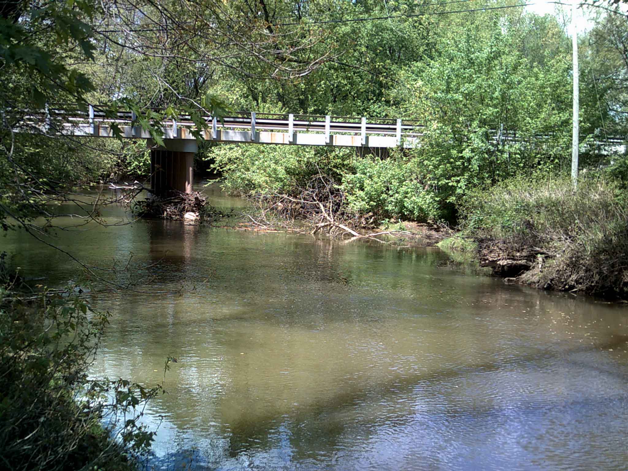
Der Conotton Creek bei Sherrodsville in Ohio unter einer Brücke der Staatsstraße 39.
Daten Gewässerkennzahl US: 1070721 Lage östlicher Bundesstaat Ohio, USA Flusssystem Mississippi River Abfluss über Tuscarawas River → Muskingum River → Ohio River → Mississippi River → Golf von Mexiko Ursprung 4 km westlich der Ortschaft Hopedale im östlichen Harrison County, OH
40° 19′ 42″ N, 80° 57′ 8″ W40.3284002-80.9523151376Quellhöhe 376 m[1] Mündung Tuscarawas River 1 km südlich von Zoarville im zentralen Tuscarawas County, OH 40.576174-81.3923358265Koordinaten: 40° 34′ 34″ N, 81° 23′ 32″ W
40° 34′ 34″ N, 81° 23′ 32″ W40.576174-81.3923358265Mündungshöhe 265 m[1] Höhenunterschied 111 m Länge 62,3[2] Einzugsgebiet 741 km²[2] Der Conotton Creek ist ein 62,3 km langer linker Nebenfluss des Tuscarawas Rivers im östlichen US-Bundesstaat Ohio. Er entwässert ein Gebiet von 741 km² und gehört zum Flusssystem des Mississippi River. Der Abfluss erfolgt über den Tuscarawas River, Muskingum River, Ohio River und Mississippi River in den Golf von Mexiko.
Der Conotton Creek entspringt 4 km westlich der Ortschaft Hopedale im östlichen Harrison County auf 376 m Höhe. Er fließt generell in nordwestlicher Richtung durch die Countys Harrison, Carroll und Tuscarawas und erreicht 1 km südlich von Zoarville die Mündung in den Tuscarawas River auf 265 m Höhe. Im Tal des Flusses verlief von 1916 bis 1988 die Wheeling-Lake-Erie-Eisenbahnlinie. Auf der ehemaligen Trasse wurde der Conotton Creek Trail angelegt, ein 18nbsp;km langer Radwanderweg, der von Bowerston nach Jewett führt.
Dem Geographic Names Information System zufolge wurde der Fluss auch mit Conolton Creek, Conoten Creek, Gutgatsing Creek, Kannotten Creek, Kennottenhead Creek, Knottenhead Creek und One Leg Creek bezeichnet.
Einzelnachweise
- ↑ a b Google Earth Höhenlage für GNIS-Koordinaten, abgerufen am 10. August 2010.
- ↑ a b Conotton Creek im Geographic Names Information System des United States Geological Survey
Weblinks
Kategorien:- Flusssystem Muskingum River
- Fluss in Ohio
- Fluss in Nordamerika
Wikimedia Foundation.