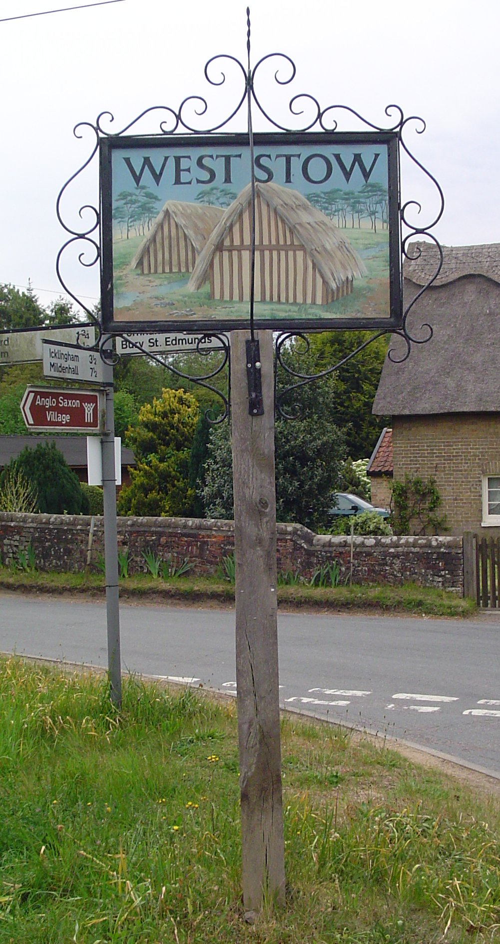
- West Stow
-
West Stow Museumsschild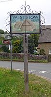
Koordinaten 52° 18′ N, 0° 40′ O52.3020.66800000000001Koordinaten: 52° 18′ N, 0° 40′ O 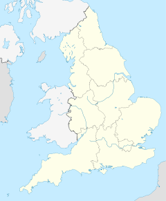

West Stow Verwaltung Landesteil England Region East of England Shire county Suffolk Das Dorf West Stow im Westen von Suffolk in England liegt nördlich von Bury St. Edmunds, im Distrikt Breckland, einer von Sträuchern bewachsenen sandigen Heide. Es liegt in der Nähe des Lark River Valley. Hier befand sich im Frühmittelalter, von 420 bis 650 n. Chr. während der dunklen Jahrhunderte eine angelsächsische Siedlung.
Inhaltsverzeichnis
Ausgrabung
Angelsachsendorf
Die von 1965 bis 1972 durchgeführte archäologische Grabung legte unter dem Sand der Brecklands eine gut erhaltene angelsächsische Siedlung frei. In der Mitte des Dorfes lag ein großes Gebäude, um das die anderen Häuser und sonstige Bauwerke gruppiert waren. Es wurden 69 kleinere Häuser, sieben Hallenhäuser und sieben andere Bauwerke gefunden. Die Menschen lebten offenbar in Großfamilien, wobei jedes Haus in der Regel zehn Personen Platz bot. Die Dorfbewohner pflegten Verbindungen zu ihrer kontinentalen Heimat, was durch Glasketten und durch Metallwaren belegt wird, die auf dem Gelände gefunden wurden, aber nicht vor Ort hergestellt waren.
West Stow war kein größeres Dorf mit zahlreichen Gehöften, sondern ein im Laufe der Zeit – die Siedlung bestand etwa 200 Jahre - mehrfach neu erbauter kleiner Weiler mit nur drei oder vier Familien. Dabei wechselten die Gehöfte ihren Standort. Eine solche "fluktuierende" Siedlungsweise wurde bei Grabungen vielfach festgestellt.
Andere Funde
Die Angelsachsen waren nicht die Ersten, die in der Region siedelten. Es wurden mesolithische Werkzeuge und ein neolithisches Gräberfeld sowie Reste eisenzeitlicher Rundhütten, umgeben von Gräben, gefunden. Ein heidnischer angelsächsischer Begräbnisplatz wurde ebenfalls ausgegraben. Das Dorf wurde im Zuge der Christianisierung nach Osten an seinen jetzigen Standort verlegt.
Freilichtmuseum
 Haus im rekonstruierten Angelsachsendorf Weststow
Heute befindet sich auf dem alten Standort ein rekonstruiertes angelsächsisches Dorf, das einen Einblick in den angelsächsischen Hausbau bietet. Auch die archäologischen Funde aus dem Dorf und der Region, darunter der Isleham Hort mit mehr als 6500 Teilen aus Bronze, werden in einem eigens errichteten angelsächsischen Zentrum präsentiert.
Literatur
- P. J. Crabtree: Sheep, Horses, Swine and Kine: A Zooarchaeological Perspective on the Anglo-Saxon Settlement of England. In: Journal of Field Archaeology 16/2, 205-213.
- Richard Hodges: The Anglo-Saxon achievement: archaeology and the beginnings of English Society. Cornell University Press. Ithaca 1989.
- J. Kelsey: Stowical Saxons reveal their secrets. In: History Today 49/10 (1999), 5.
- West Stow Village. British Heritage 19/3 ( März 1998), 10-12.
Kategorien:- Archäologischer Fundplatz in England
- Freilichtmuseum
- Ort in Suffolk


Wikimedia Foundation.