- Fulladu East
-
Fulladu East  Lage des Distrikts in der Upper River Region
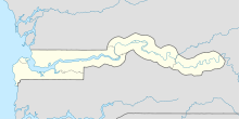

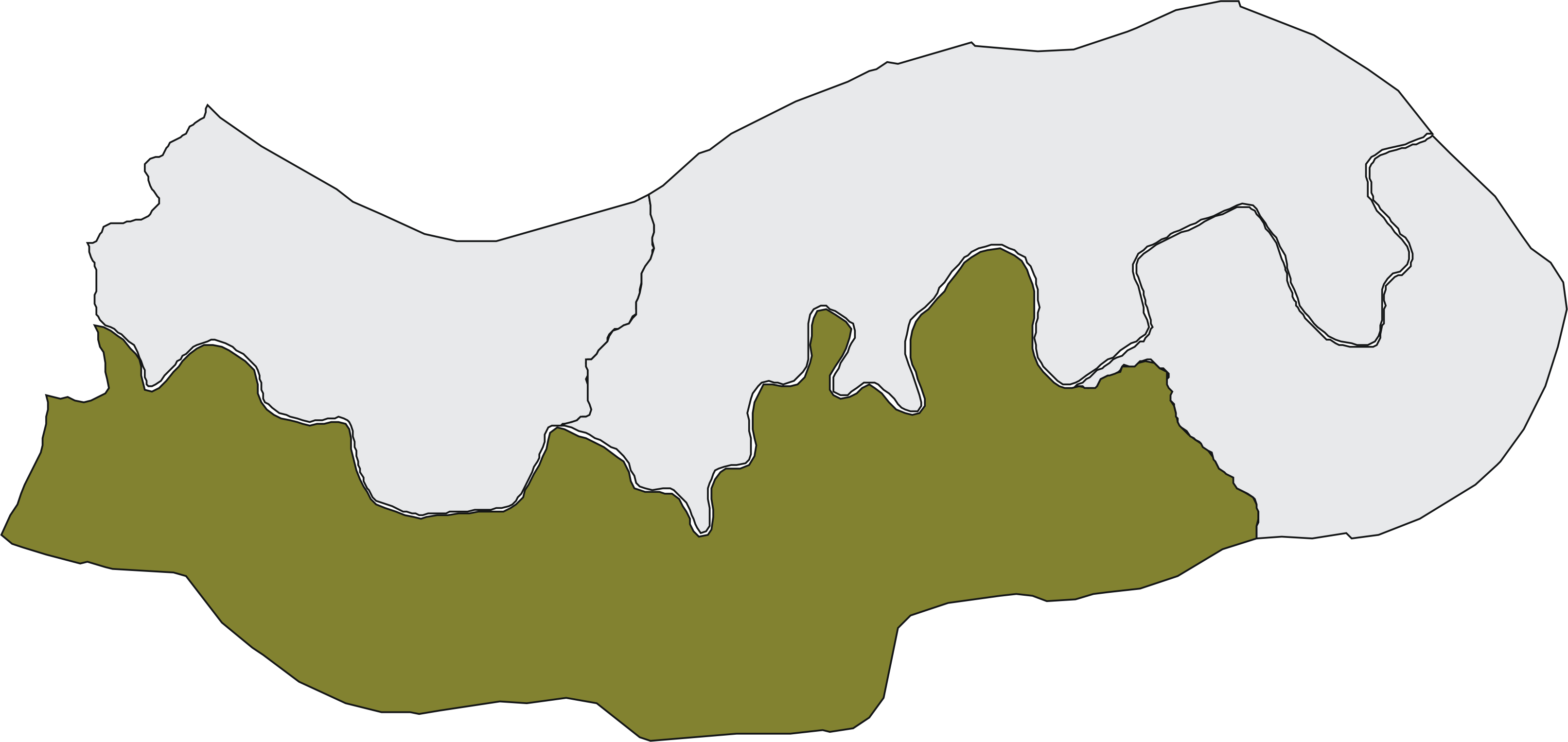
Lage des Distrikts in GambiaBasisdaten Übergeordnete Region Upper River Geographische Lage 13° 20′ N, 14° 15′ W13.333333333333-14.25Koordinaten: 13° 20′ 0″ N, 14° 15′ 0″ W Einwohnerzahl 105.982 (Stand 2010) Fulladu East (Schreibvariante: Fuladu East) ist einer von 35 Distrikten – der zweithöchsten Ebene der Verwaltungsgliederung – im westafrikanischen Staat Gambia. Es ist einer von vier Distrikten in der Upper River Region.
Nach einer Berechnung von 2010 leben dort etwa 105.982 Einwohner, das Ergebnis der letzten veröffentlichten Volkszählung von 2003 betrug 98.454.[1]
Der Name ist von Fulladu abgeleitet, einem ehemaligen kleinen Reich.
Ortschaften
Die zehn größten Orte sind:
- Basse Santa Su, 17.463
- Gambissara, 10.193
- Sabi, 8839
- Allunhari, 5635
- Demba Kunda, 5331
- Kularr, 4460
- Numuyel, 4129
- Dempha Kunda, 3958
- Dingiri, 2774
- Kaba Kama, 2464
- siehe auch Liste der Städte in Gambia
Bevölkerung
Nach einer Erhebung von 1993[2] (damalige Volkszählung) stellt die größte Bevölkerungsgruppe die der Serahule mit einem Anteil von rund vier Zehnteln, gefolgt von den Fula und den Mandinka. Die Verteilung im Detail: 26,4 % Mandinka, 27,3 % Fula, 0,5 % Wolof, 0,3 % Jola, 43,2 % Serahule, 0,4 % Serer, 0,1 % Aku, 0,2 % Manjago, 0,9 % Bambara und 0,8 % andere Ethnien.
Einzelnachweise
Schlagen Sie auch in anderen Wörterbüchern nach:
Fulladu East — Admin ASC 2 Code Orig. name Fulladu East Country and Admin Code GM.04.2413462 GM … World countries Adminstrative division ASC I-II
Fulladu East — PAGENAME is one of the four districts of the Upper River Division of The Gambia … Wikipedia
Fulladu West — Lage des Distrikts in der Central River Region … Deutsch Wikipedia
Niamina East — Districts of Central River Division Niamina East is one of the ten districts of the Central River Division of The Gambia … Wikipedia
Niamina East — Lage des Distrikts in der Central River Region … Deutsch Wikipedia
Liste von Kultplätzen in Gambia — Die Liste von Kultplätzen in Gambia listet Kultstätten oder Kultplätze im westafrikanischen Staat Gambia auf. Die Auflistung wurde vom National Centre for Arts Culture 1998 veröffentlicht. Die Kultstätten sind näher klassifiziert als „heilig“… … Deutsch Wikipedia
Bakadaji — Infobox Settlement official name = Bakadaji other name = native name = nickname = settlement type = motto = imagesize = image caption = flag size = image seal size = image shield = shield size = image blank emblem = blank emblem type = blank… … Wikipedia
Liste historischer Forts und Tatos von Gambia — In dieser Liste historischer Forts und Tatos von Gambia sind zwei Arten von Festungen aufgelistet. Einmal die Forts, der europäischen Kolonialmächte, die im Zusammenhang als Fort oder als militärischer Stützpunkt beschrieben worden sind. Im… … Deutsch Wikipedia
Verwaltungsgliederung Gambias — Die Verwaltungsgliederung Gambias bzw. die Administrative Gliederung stellt sich wie folgt dar: Der westafrikanische Staat Gambia ist in fünf Regionen und zwei Gemeinden (englisch municipalities), die Stadt Banjul und die Gemeinde Kanifing,… … Deutsch Wikipedia
North Bank Division — Location of North Bank Division in The Gambia North Bank is one of the five administrative divisions of The Gambia. Its capital is Kerewan … Wikipedia
Fulladu East

18+
© Academic, 2000-2024
- Kontaktieren Sie uns: Unterstützung, Werbung
Wörterbücher Export, schritte mit PHP, Joomla, Drupal, WordPress, MODx.