Rossstock

Rossstock
Rossstock

Photo-request.svg

Bild gesucht 

BWf1

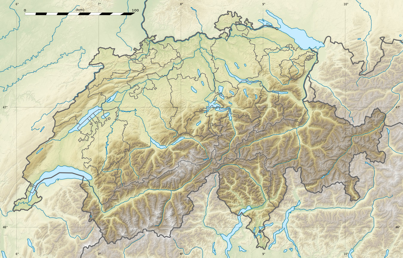
Höhe 2'461 m ü. M.
Lage Kantonsgrenze Uri / Schwyz, Schweiz
Geographische Lage (696680 / 197002)46.917098.7078852461Koordinaten: 46° 55′ 2″ N, 8° 42′ 28″ O; CH1903: (696680 / 197002)
Rossstock (Schweiz)
Rossstock

Der Rossstock ist eine Bergspitze auf einer Höhe von 2'461 m ü. M. an der innerschweizer Grenze zwischen den Kantonen Uri und Schwyz. Er bildet den Endpunkt des Spilauer Grätli.


Wikimedia Foundation.

Игры ⚽ Поможем сделать НИР

Schlagen Sie auch in anderen Wörterbüchern nach:

  • Sisikon — Infobox Swiss town subject name = Sisikon municipality name = Sisikon municipality type = municipality imagepath coa = Sisikon coat of arms.svg|pixel coa= languages = German canton = Uri iso code region = CH UR district = n.a. lat d=46|lat… …   Wikipedia

  • Spilauersee — Infobox lake lake name = Spilauersee image lake = caption lake = image bathymetry = caption bathymetry = location = Uri coords = coord|46|55|24|N|8|41|36|E|region:CH UR type:waterbody source:dewiki|display=inline,title type = inflow = outflow =… …   Wikipedia

  • Spilauersee — Bild gesucht  BW Geographische Lage Kanton Uri Daten …   Deutsch Wikipedia

  • Schwyzer Voralpen — p1p5 Schwyzer Voralpen Hoch Ybrig mit dem Druesberg Höchster Gipfel Hoch Ybrig (2 282  …   Deutsch Wikipedia

Share the article and excerpts

Direct link
Do a right-click on the link above
and select “Copy Link”