- Motutunga
-
Motutunga NASA-Bild von Motutunga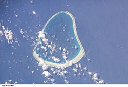
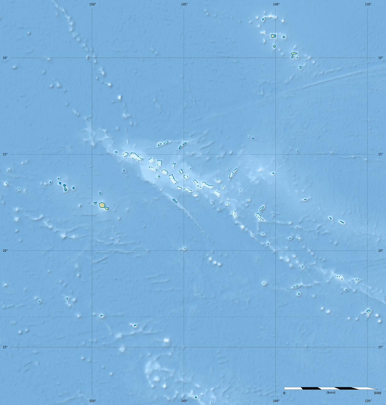
Gewässer Pazifischer Ozean Archipel Tuamotu-Archipel Geographische Lage 17° 6′ S, 144° 22′ W-17.1-144.36666666667Koordinaten: 17° 6′ S, 144° 22′ W 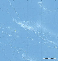

Anzahl der Inseln --- Landfläche 1,4 km² Lagunenfläche 126 km² Einwohner (unbewohnt) Motutunga gehört zur Gemeinde Anaa, ist ein unbewohntes Atoll des Tuamotu-Archipels in Französisch-Polynesien und liegt 17 km südöstlich von Tahanea. Es hat eine dreieckige Form von 15 km Länge und maximal 14 km Breite, ist von einem Saumriff umgeben und die Lagune hat keinen schiffbaren Zugang zum Meer.
Motutunga wurde 1773 von James Cook entdeckt und ursprünglich auf den Namen seines Schiffes Adventure getauft. Der Spanische Seefahrer Domingo de Boenechea sichtete die Insel im Jahr 1774 und gab ihr den Namen San Blas.
Weblinks

Ahe | Ahunui | Akiaki | Amanu | Anaa | Anuanuraro | Anuanurunga | Apataki | Aratika | Arutua | Faaite | Fakahina | Fakarava | Fangatau | Fangataufa | Gambier | Hao | Haraiki | Héréhérétué | Hikueru | Hiti | Katiu | Kauehi | Kaukura | Makatea | Makemo | Mangareva | Manihi | Manuhangi | Maria Est | Marokau | Marutea Nord | Marutea Sud | Mataiva | Matureivavao | Morane | Motutunga | Mururoa | Napuka | Nengonengo | Niau | Nihiru | Nukutavake | Nukutepipi | Paraoa | Pinaki | Puka-Puka | Puka Rua | Rangiroa | Raraka | Raroia | Ravahere | Reao | Reitoru | Rekareka | Taenga | Tahanea | Taiaro | Takapoto | Takaroa | Takume | Tatakoto | Tauere | Tekokota | Tematangi | Temoe | Tenararo | Tenarunga | Tepoto Nord | Tepoto Sud | Tikehau | Tikei | Toau | Tuanake | Tureia | Vahanga | Vahitahi | Vairaatea | Vanavana
Wikimedia Foundation.
Schlagen Sie auch in anderen Wörterbüchern nach:
Motutunga — Vue satellite de la NASA Géographie Pays … Wikipédia en Français
Motutunga — Coordinates: 17°04′S 144°17′W / 17.067°S 144.283°W / 17.067; 144.283 … Wikipedia
Anaa — Saltar a navegación, búsqueda Localización de Anaa en las Tuamotu. Anaa es un atolón de las Tuamotu, en la Polinesia Francesa. Está situado en el noroeste del archipiélago, a 350 km al este de Tahití. Es un atolón ovalado de 29,5 km de largo y… … Wikipedia Español
Anaa — Infobox Islands name =Anaa image caption = NASA picture of Anaa Atoll locator native name = Timanu, Karere native name link = location =Pacific Ocean coordinates=coord|17|20|S|145|30|W|region:PF type:isle|display=inline,title archipelago =… … Wikipedia
Tuamotus — Native name: Tuamotu Flag of the Tuamotu Islands … Wikipedia
Raeffsky Islands — The Raeffsky Islands (Îles Raéffsky or Îles Raevski) is a subgroup of the Tuamotu group in French Polynesia. They are located roughly in the central area of the main Tuamotu atoll cluster. (Latitude: 16° 45 0 S, Longitude: 144° 13 60 W)The… … Wikipedia
Amanu-Atoll — Amanu NASA Bild von Amanu Gewässer Pazifischer Ozean Archipel Anzahl der Inseln … Deutsch Wikipedia
Anaa — Vorlage:Infobox Insel/Wartung/Höhe fehlt Anaa NASA Bild von Anaa Gewässer Pazifischer Ozean Archipel … Deutsch Wikipedia
Anuanurao — Anuanuraro NASA Bild von Anuanuraro Gewässer Pazifischer Ozean Archipel Anzahl der … Deutsch Wikipedia
Boenechea — Porträt von Domingo de Boenechea Domingo de Bonechea Andonaegui (* 8. August 1713 in Getaria; † Oktober 1775 in Tautira, Tahiti) war ein Seefahrer und Entdecker des 18. Jahrhunderts im Dienst der spanischen Krone. Der spätere Vizekönig von Peru… … Deutsch Wikipedia
Motutunga

18+
© Academic, 2000-2024
- Kontaktieren Sie uns: Unterstützung, Werbung
Wörterbücher Export, schritte mit PHP, Joomla, Drupal, WordPress, MODx.