- Monte Prado
-
Monte Prado 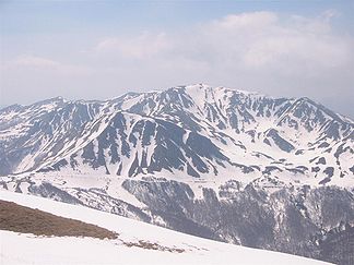
Monte Prado vom Monte Cusna
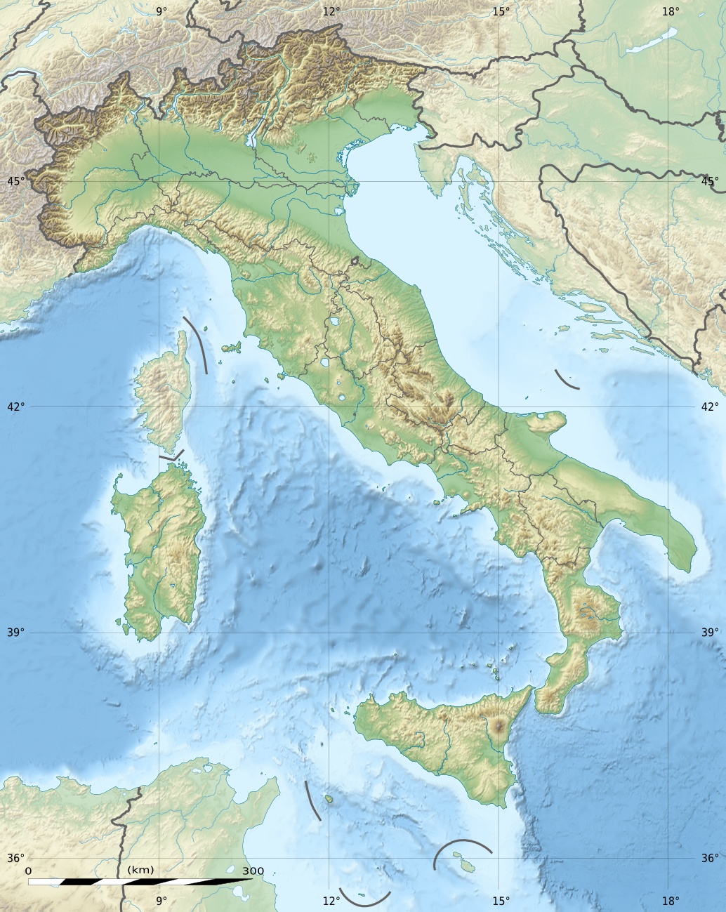
Höhe 2.054 m s.l.m. Lage Provinzgrenze Reggio Emilia/Lucca, Italien Gebirge Apennin Geographische Lage 44° 15′ 0″ N, 10° 24′ 27″ O44.250110.40752054Koordinaten: 44° 15′ 0″ N, 10° 24′ 27″ O 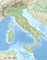

Besonderheiten höchster Berg der Toskana Der Monte Prado ist der höchste Berg der Toskana. Er hat eine Höhe von 2.054 m s.l.m. und liegt im toskanisch-emilianischen Apennin an der Grenze der Regionen Emilia-Romagna und Toskana.
Die Besteigung des Berges ist technisch sehr einfach, es führen gut ausgeschilderte Wanderwege über Wiesen und Steinwege auf seinen Gipfel.
Kategorien:- Zweitausender
- Berg in der Toskana
- Berg in der Emilia-Romagna
- Berg in Europa
- Berg im Apennin

Wikimedia Foundation.