- Manilaid
-
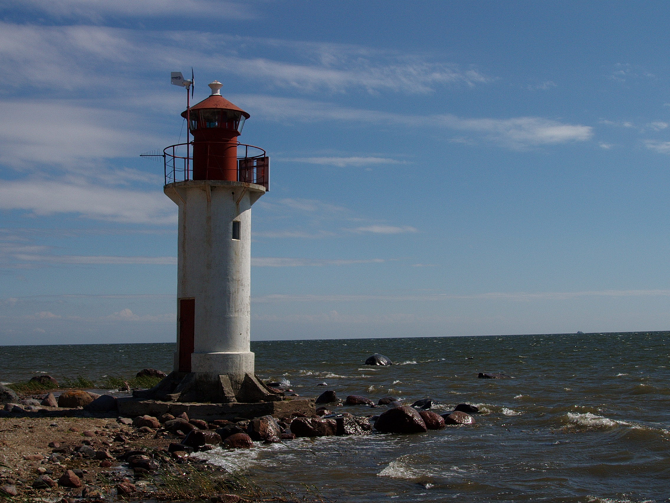
Manilaid Leuchtturm von Manilaid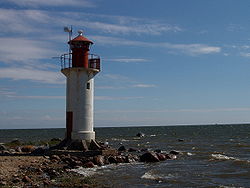
Gewässer Rigaischer Meerbusen Geographische Lage 58° 12′ 49″ N, 24° 7′ 16″ O58.21361111111124.121111111111Koordinaten: 58° 12′ 49″ N, 24° 7′ 16″ O 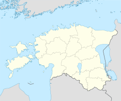

Fläche 1,87 km² Einwohner 49 (2006)
26 Einw./km²Manilaiu kaart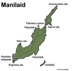
Manilaid (auch: Manija, deutsch: Manja) ist eine estnische Ostsee-Insel. Sie liegt in der Rigaer Bucht zwischen der Halbinsel Tõstamaa und der estnischen Insel Kihnu.
Manilaid liegt etwa einen Kilometer vom Festland entfernt. Die Größe der Insel beträgt 1,87 km². In der Nähe finden sich die Eilande Annilaid (auch Anõlaid) mit einer Größe von 0,03 km² und Munalaid. Vom Hafen Lemsi auf Kihnu aus gibt es eine regelmäßige Fährverbindung zu den Inseln. Die Inseln gehören verwaltungsmäßig zur Gemeinde Tõstamaa im Kreis Pärnu.
Manilaid wurde erstmals 1560 als Holm Maune urkundlich erwähnt. Bis 1933 war die Insel unbewohnt, bevor Esten aus Kihnu auf der Insel siedelten. Heute leben dort dauerhaft 49 Menschen (Stand 2006) in Manija. 2005 erhielt die gesamte Ortschaft Wireless LAN.
Auf der Halbinsel Papina befindet sich der acht Meter hohe Leuchtturm der Insel.
Weblinks
- Leuchtturm von Manilaid (estnisch)
Kategorien:- Insel (Europa)
- Insel (Estland)
- Insel (Ostsee)
- Tõstamaa


Wikimedia Foundation.