- Kapas Island
-
Kapas Island 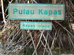
Gewässer Südchinesisches Meer Geographische Lage 5° 12′ 56″ N, 103° 16′ 17″ O5.2155555555556103.27138888889Koordinaten: 5° 12′ 56″ N, 103° 16′ 17″ O 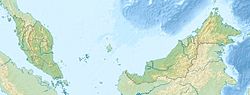

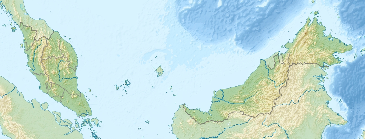
Kapas (malaiisch: Pulau Kapas) ist eine mit Dschungel bewachsene Insel, 10 Kilometer in südöstlicher Richtung vor der Küste von Kuala Terengganu, Malaysia. Im Norden liegt in wenigen 100 m Entfernung die weit kleinere Nebeninsel Gemia.
Kapas Island ist nur dünn besiedelt, und lebt in erster Linie vom Tourismus. Im Umkreis von fünf Kilometern herrscht Fischereiverbot.[1]
Die Strände von Kapas sind weiße Sandstrände. Rund um die Insel ist klares Wasser, was Schnorcheltaucher anlockt, die Korallenriffe und Wracks vorfinden. Kapas kann mit der Fähre von dem sechs Kilometer entfernten Fischerdorf Marang erreicht werden.
Weblinks
 Commons: Pulau Kapas – Sammlung von Bildern, Videos und Audiodateien
Fußnoten
Kategorien:- Insel (Asien)
- Insel (Malaysia)
- Insel (Südchinesisches Meer)
- Terengganu

Wikimedia Foundation.