- Itasca State Park
-
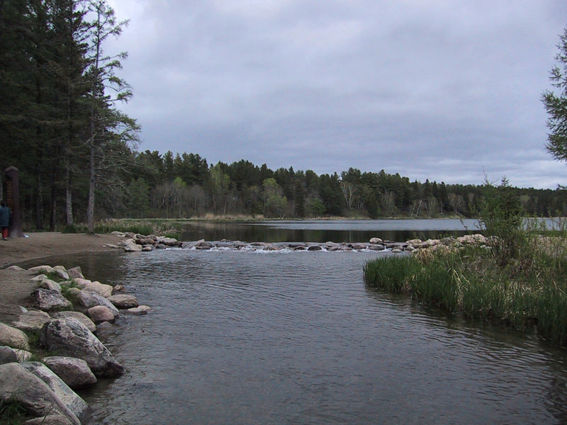
 Quelle des Mississippi
Der Itasca State Park ist der älteste State Park im US-Bundesstaat Minnesota und bildet die Wasserscheide zwischen den nach Norden und den in den Golf von Mexiko strömenden Gewässern. 1965 wurde die Itasca Natural Area im Park als National Natural Landmark eingetragen. [1]
Der Itasca State Park ist 130 km² groß und in ihm liegen über 100 Seen. In dem Park entspringt der Mississippi River aus dem See Itasca. Der See liegt etwa 500 m ü. NN.
Der Itasca wurde am 13. Juli 1832 erstmals von Weißen gesichtet und als Quelle des Mississippi erkannt.
Verweise
Weblinks
 Commons: Itasca State Park – Sammlung von Bildern, Videos und Audiodateien47.176645333333-95.228805541667Koordinaten: 47° 10′ 35,9″ N, 95° 13′ 43,7″ WKategorien:
- State Park in Minnesota
- National Natural Landmark
Wikimedia Foundation.