- Har Gilo
-
31.72205833333335.171488888889Koordinaten: 31° 43′ 19″ N, 35° 10′ 17″ O
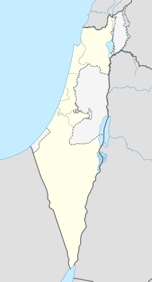

Har Gilo Har Gilo (hebräisch הר גילה) ist eine israelische Siedlung im Westjordanland mit 462 Einwohnern (2007)[1]. Sie befindet sich zwischen den palästinensischen Städten Al Walaja und Beit Jala, 5 Kilometer südlich von Jerusalem.
1994 hatte Har Gilo 387 Einwohner. Die Siedlung wurde 1972 gegründet und gehört zur Siedlungsgruppe Gusch Etzion.
Einzelnachweise

Wikimedia Foundation.