- Galičica
-
Galičica-Gebirge 
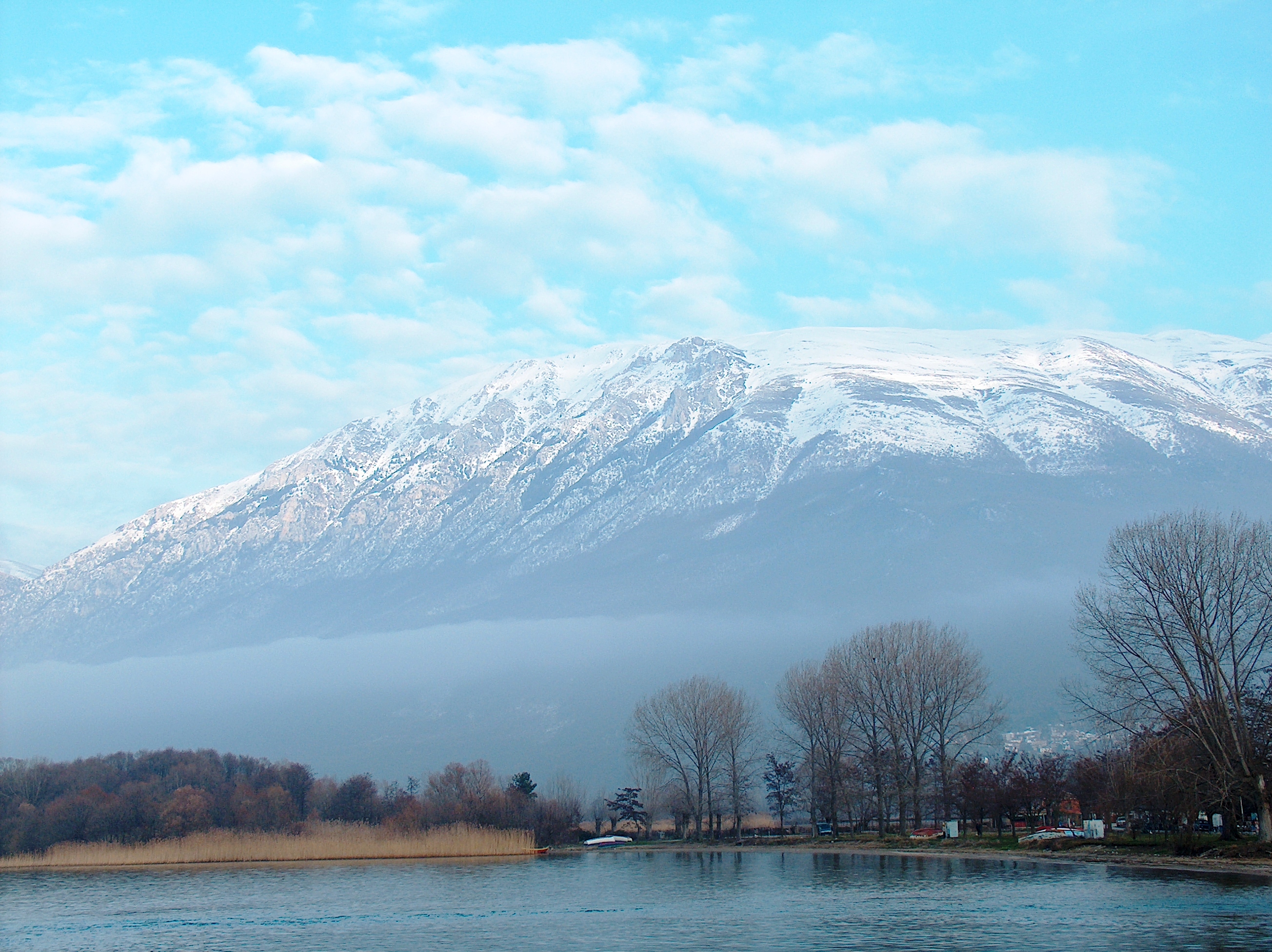
Blick vom Kloster Sveti Naum am Ohridsee
Höchster Gipfel Magaro (2.255 m. i. J.) Lage Mazedonien 

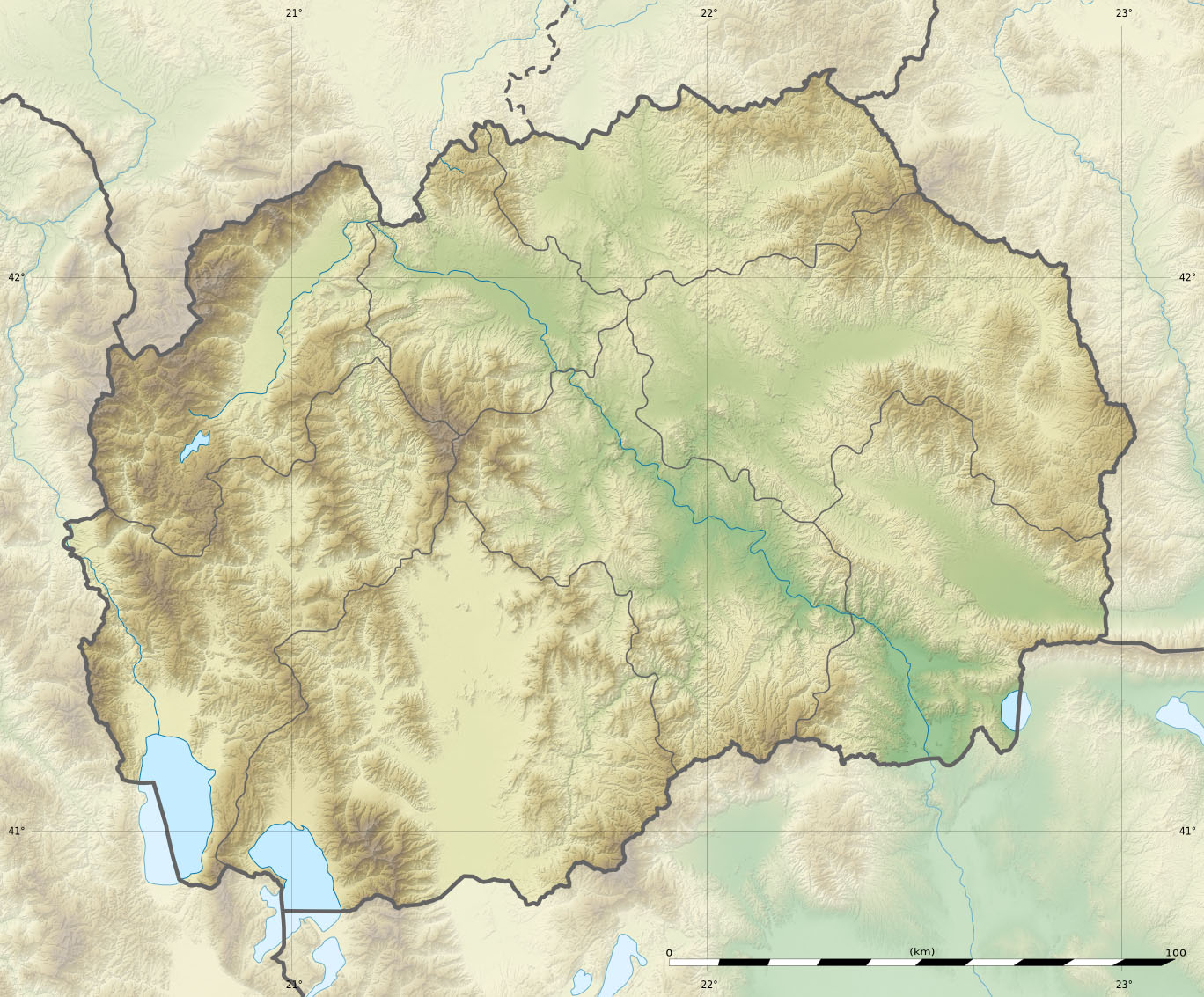
Koordinaten 40° 57′ N, 20° 48′ O40.94177777777820.8063333333332255Koordinaten: 40° 57′ N, 20° 48′ O Das Galičica-Gebirge (maz. Галичица) erhebt sich im Südwesten Mazedoniens zwischen dem Ohrid- und dem Prespasee. Sein Kamm verläuft in etwa in nord-südlicher Richtung, beginnend nahe der Stadt Ohrid bis zur albanischen Grenze, wo es in den Gebirgszug Mali i Thatë übergeht. Die höchste Erhebung, der Magaro, ist 2255 Meter hoch.[1]
Das in den mittleren Lagen dicht bewaldete Gebirge steht seit 1958 als Nationalpark unter Schutz.[1][2] Der Galičica-Nationalpark erstreckt sich jeweils bis an die Ufer der beiden großen Seen und umfasst ein Gebiet von 22.750 ha.[3]
Im Ersten Weltkrieg verlief von 1916–1918 die Front zwischen den Truppen der Entente und der Mittelmächte durch das Galičica-Gebirge.
Bilder
-

Passübergang
-

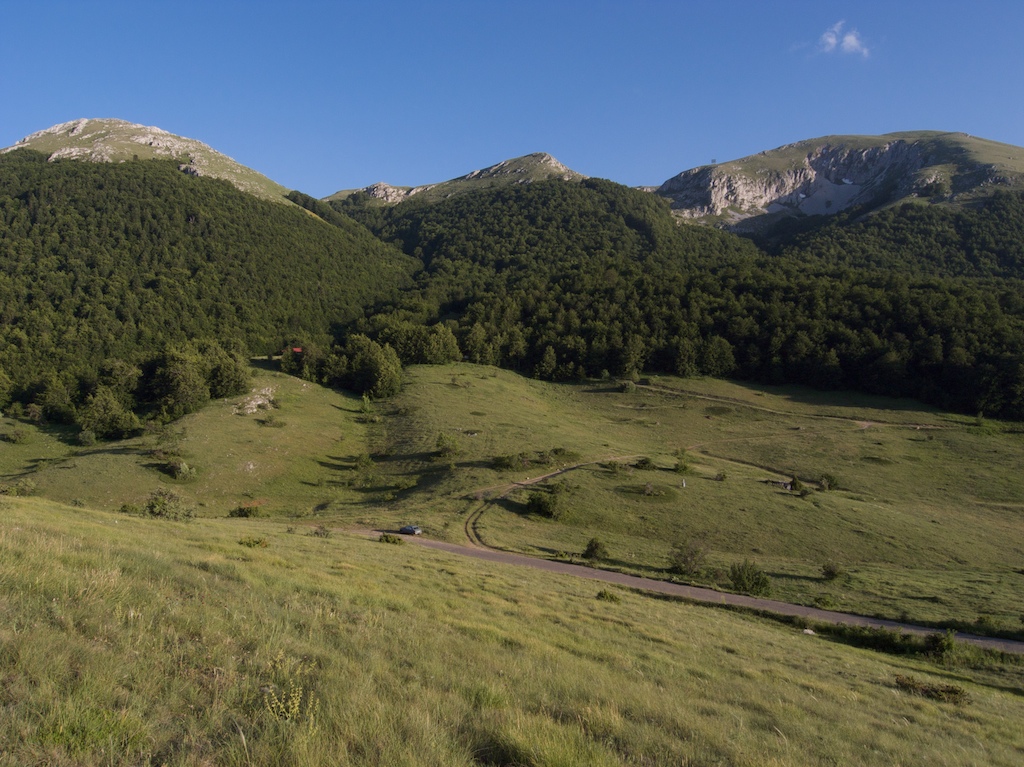
Gebirgslandschaft
-

Trockene Wiesen im Sommer
-

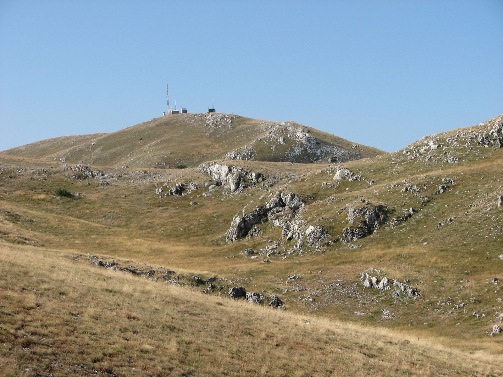
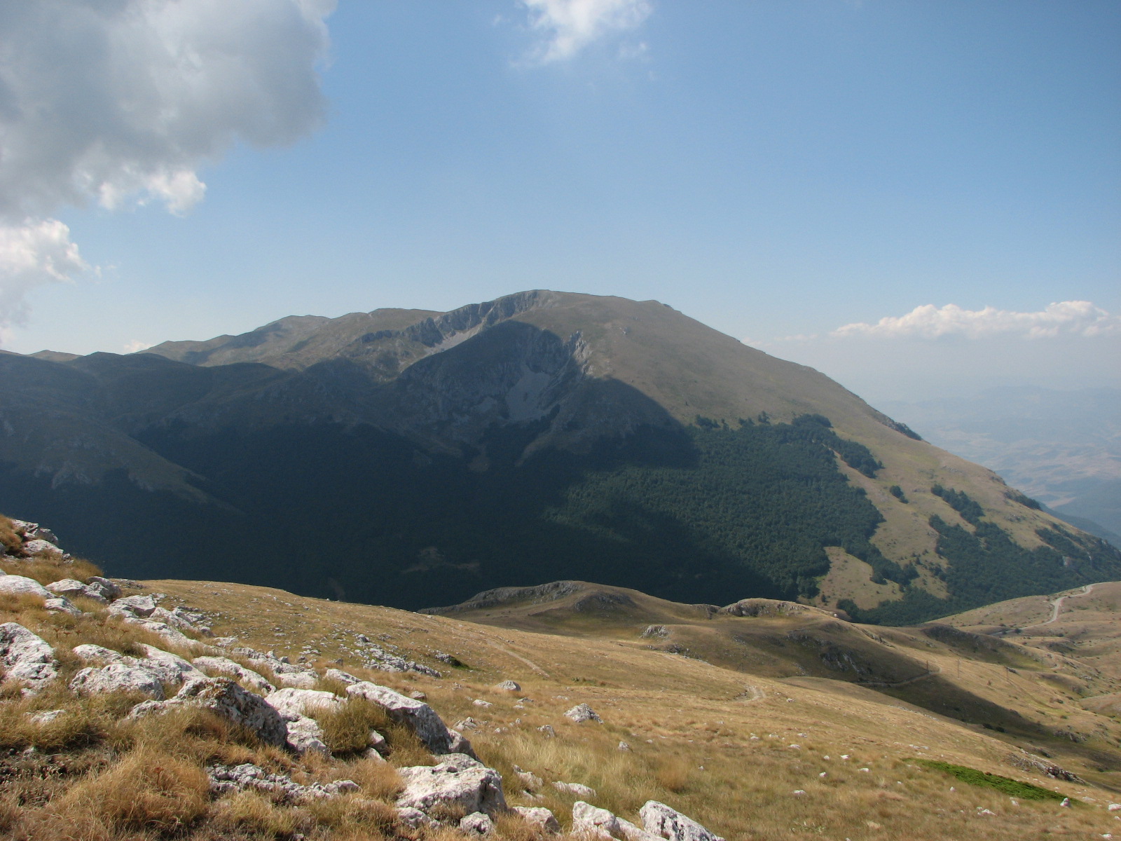
Höchster Gipfel, Magaro (2.255 m)
Weblinks
 Commons: Galičica – Sammlung von Bildern, Videos und Audiodateien
Einzelnachweise
- ↑ a b Galicica National Park – Introduction. Abgerufen am 8. März 2011.
- ↑ National Park. In: Ohrid at your fingertips. Abgerufen am 8. März 2011.
- ↑ Michael R Appleton, UNDP-GEF, Ministry of Environment and Physical Planning of the Republic of Macedonia: Protected Areas in Macedonia – An Overview. 2008, abgerufen am 8. März 2011.
Kategorien:- Gebirge in Europa
- Gebirge in Mazedonien
- Nationalpark in Europa
-

Wikimedia Foundation.