- Douglas County (South Dakota)
-
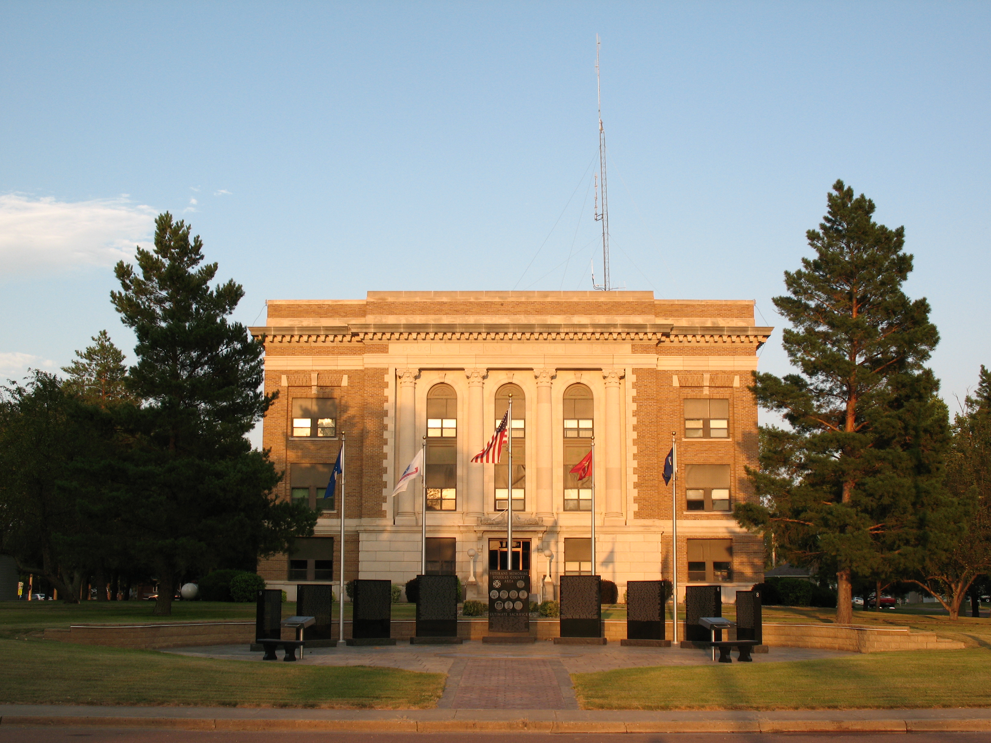
 Douglas County Courthouse in Armour
Verwaltung US-Bundesstaat: South Dakota Verwaltungssitz: Armour Gründung: 1873 Demographie Einwohner: 3458 (2000) Bevölkerungsdichte: 3,1 Einwohner/km² Geographie Fläche gesamt: 1.124 km² Wasserfläche: 2 km² Karte 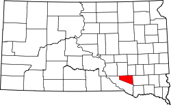
Douglas County[1] ist ein County im Bundesstaat South Dakota der Vereinigten Staaten von Amerika. Hier leben 3458 Einwohner. Der Verwaltungssitz (County Seat) ist Armour.
Inhaltsverzeichnis
Geographie
Das County hat eine Fläche von 1845 Quadratkilometern; davon sind 2 Quadratkilometer (0,14 Prozent) Wasserflächen. Es ist in 14 Townships eingeteilt: Belmont, Chester, Clark, East Choleau, Garfield, Grandview, Holland, Independence, Iowa, Joubert, Lincoln, Valley, Walnut Grove und Washington.
Bevölkerungsentwicklung
Historische Einwohnerzahlen Census Einwohner ± in % 1900 5012 — 1910 6400 30 % 1920 6993 9 % 1930 7236 3 % 1940 6348 -10 % 1950 5636 -10 % 1960 5113 -9 % 1970 4569 -10 % 1980 4181 -8 % 1990 3746 -10 % 2000 3458 -8 % 2010 3002 -10 % 1900–1990[2] 2000[3]
Städte und Gemeinden
Städte (cities)
- Armour
- Corsica
- Delmont
- Harrison
- New Holland
Einzelnachweise
- ↑ Douglas County im Geographic Names Information System des United States Geological Survey. Abgerufen am 22. Februar 2011
- ↑ Auszug aus Census.gov. Abgerufen am 28. Februar 2011
- ↑ Auszug aus factfinder.census.gov Abgerufen am 28. Februar 2011

Liste der Countys in South Dakota
Aurora | Beadle | Bennett | Bon Homme | Brookings | Brown | Brule | Buffalo | Butte | Campbell | Charles Mix | Clark | Clay | Codington | Corson | Custer | Davison | Day | Deuel | Dewey | Douglas | Edmunds | Fall River | Faulk | Grant | Gregory | Haakon | Hamlin | Hand | Hanson | Harding | Hughes | Hutchinson | Hyde | Jackson | Jerauld | Jones | Kingsbury | Lake | Lawrence | Lincoln | Lyman | Marshall | McCook | McPherson | Meade | Mellette | Miner | Minnehaha | Moody | Pennington | Perkins | Potter | Roberts | Sanborn | Shannon | Spink | Stanley | Sully | Todd | Tripp | Turner | Union | Walworth | Yankton | Ziebach
Wikimedia Foundation.
Schlagen Sie auch in anderen Wörterbüchern nach:
Douglas County, South Dakota — Douglas County Courthouse in Armour, South Dakota … Wikipedia
National Register of Historic Places listings in Douglas County, South Dakota — Location of Douglas County in South Dakota This is a list of the National Register of Historic Places listings in Douglas County, South Dakota. This is intended to be a complete list of the properties and districts on the National Register of… … Wikipedia
Davison County, South Dakota — Location in the state of South Dakota … Wikipedia
Minnehaha County (South Dakota) — Verwaltung US Bundesstaat: South Dakota Verwaltungssitz: Sioux Falls Adresse des Verwaltungssitzes: Gründung … Deutsch Wikipedia
Ziebach County (South Dakota) — Verwaltung US Bundesstaat: South Dakota Verwaltungssitz: Dupree Adresse des Verwaltungssitzes: Gründung … Deutsch Wikipedia
Hutchinson County, South Dakota — Infobox U.S. County county = Hutchinson County state = South Dakota founded year = founded date = seat wl = Olivet largest city wl = area total sq mi = 814 area total km2 = 2109 area land sq mi =813 area land km2 = 2105 area water sq mi = 2 area… … Wikipedia
Aurora County, South Dakota — Infobox U.S. County county = Aurora County state = South Dakota founded year = 1879 founded date = February 22 seat wl = Plankinton largest city wl = area total sq mi = 713 area total km2 = 1845 area land sq mi = 708 area land km2 = 1834 area… … Wikipedia
Charles Mix County, South Dakota — Charles Mix County Courthouse in Lake Andes … Wikipedia
Clay County, South Dakota — Location in the state of South Dakota … Wikipedia
Minnehaha County, South Dakota — Minnehaha County Courthouse in Sioux Falls, South Dakota … Wikipedia
Douglas County (South Dakota)

18+
© Academic, 2000-2024
- Kontaktieren Sie uns: Unterstützung, Werbung
Wörterbücher Export, schritte mit PHP, Joomla, Drupal, WordPress, MODx.