Studland

Studland
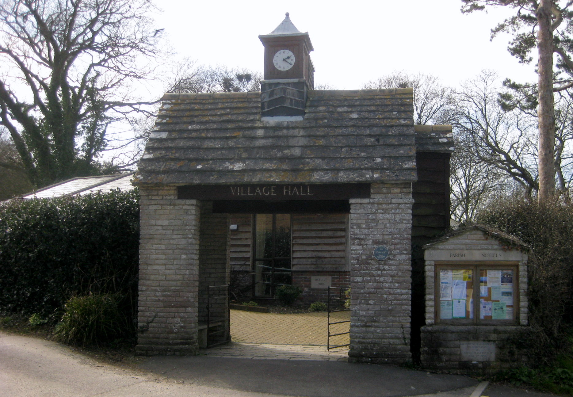
Studland
Studland, Village Hall
Koordinaten 50° 39′ N, 1° 57′ W50.64218-1.95045Koordinaten: 50° 39′ N, 1° 57′ W
Studland (England)
Studland
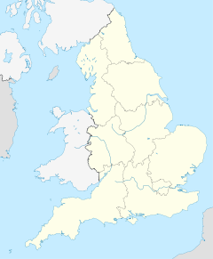
Studland
Bevölkerung 480 (Stand: 2001 Census)
Verwaltung
Post town SWANAGE
Postleitzahlen­abschnitt BH19
Vorwahl 01929
Landesteil England
Region South West England
Shire county Dorset
District Purbeck
Website: http://www.isleofpurbeck.com/studland.html

Studland ist ein kleines Küstendorf auf der Isle of Purbeck in der Grafschaft Dorset, an der Südküste von England.

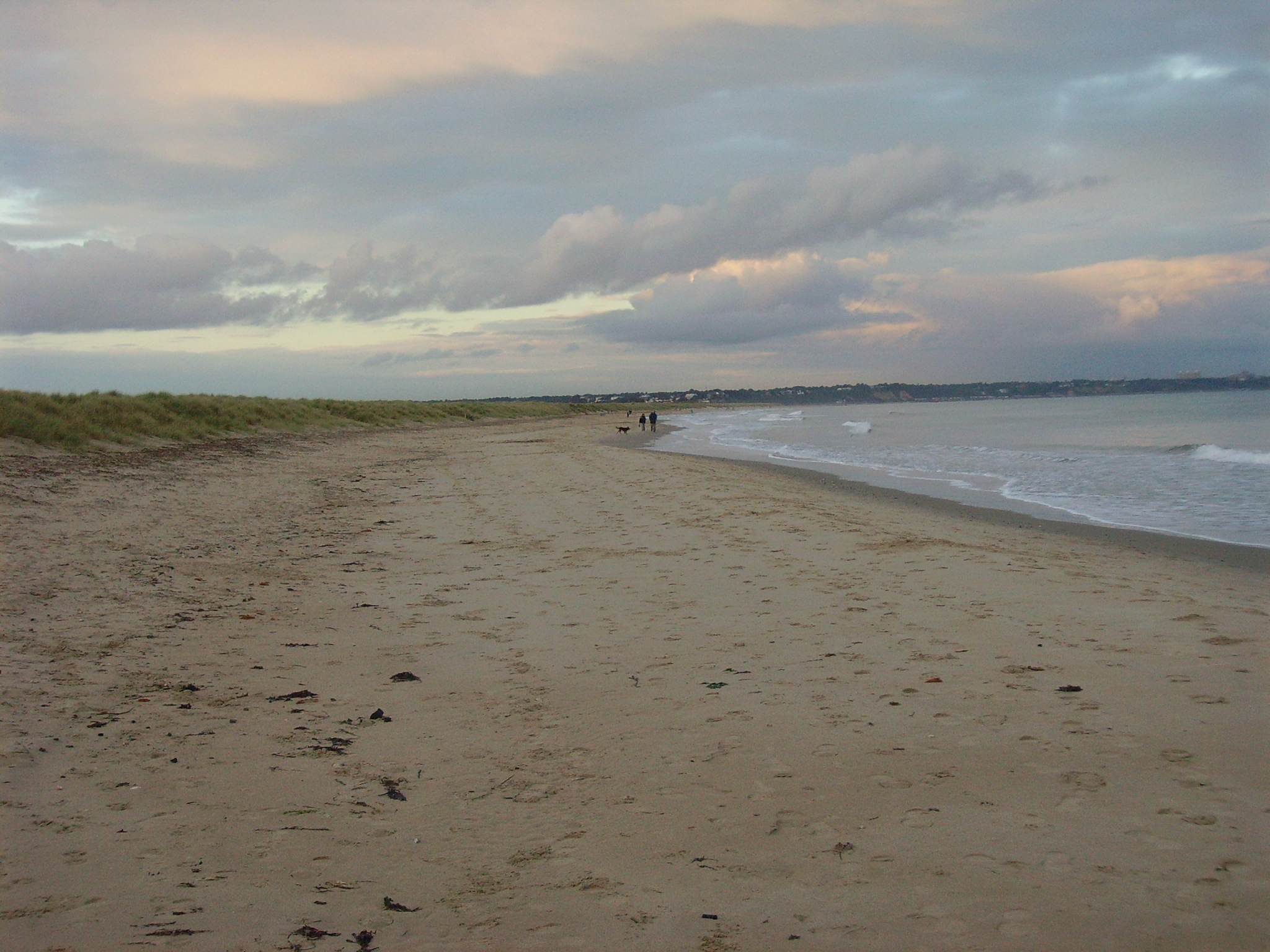
Es ist bekannt für seine drei Strände an der Studland Bay (South Beach, Middle Beach und Knoll Beach) und für sein Naturschutzgebiet Studland and Godlingston Heath. Studland liegt etwa 4 km nördlich von Swanage, und etwa 8 km südlich der großen Städte Poole und Bournemouth. Die Studland Bay ist Teil der Jurassic Coast (ein Weltnaturerbe).

In der Nähe von Studland befinden sich Poole Harbour im Norden, Corfe Castle im Westen, Old Harry Rocks im Osten und Ballard Down, Swanage Bay, Durlston Bay sowie Durlston Country Park im Süden.

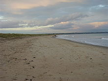
Studland, Middle Beach

Wikimedia Foundation.

Игры ⚽ Нужно решить контрольную?

Schlagen Sie auch in anderen Wörterbüchern nach:

  • Studland — Coordinates: 50°38′32″N 1°57′02″W / 50.64218°N 1.95045°W / 50.64218; 1.95045 …   Wikipedia

  • South West Coast Path — The starting point at Minehead Length 630 miles (1,014 km) Location England: Somerset, Devon, Cornwall …   Wikipedia

  • Poole Harbour — Location map|Dorset label = lat = 50.69 long = 1.97 caption = Map showing the location of Poole Harbour within Dorset. float = right background = white width = 200Poole Harbour is a large natural harbour in Dorset, southern England, with the town …   Wikipedia

  • Agglestone Rock — is a sandstone block of about 400 tonnes weight, perched on a conical hill, approximately 1 mile from the village of Studland, south Dorsetcite web|url=http://www.soton.ac.uk/ imw/Studland Tertiary.htm.|work=Ian West, Southampton University|title …   Wikipedia

  • Wilts & Dorset — Infobox Bus transit name = Wilts Dorset logo size = 250 image caption = A Volvo B7TL with East Lancs Myllennium Vyking (convertible open top) bodywork in the newest livery company slogan = Serving coast and countryside founded = 1915 headquarters …   Wikipedia

  • Isle of Purbeck — Fishermans ledge in Purbeck Gewässer Ärmelkanal …   Deutsch Wikipedia

  • Hammersmith (Grove Road) station — Hammersmith (Grove Road) was a station on the London and South Western Railway (L SWR). It was located in Grove Road (now Hammersmith Grove), Hammersmith, adjacent to the Hammersmith City Line station.For much of its existence the station was… …   Wikipedia

  • Parson’s Barn — Parson s Barn Gewässer Ärmelkanal Geographische Lage …   Deutsch Wikipedia

  • Dune — For other uses, see Dune (disambiguation). Erg Chebbi, Morocco …   Wikipedia

  • Dorset — For other uses, see Dorset (disambiguation). Dorset …   Wikipedia

Share the article and excerpts

Direct link
Do a right-click on the link above
and select “Copy Link”