Steilacoom Catholic Church
Schlagen Sie auch in anderen Wörterbüchern nach:
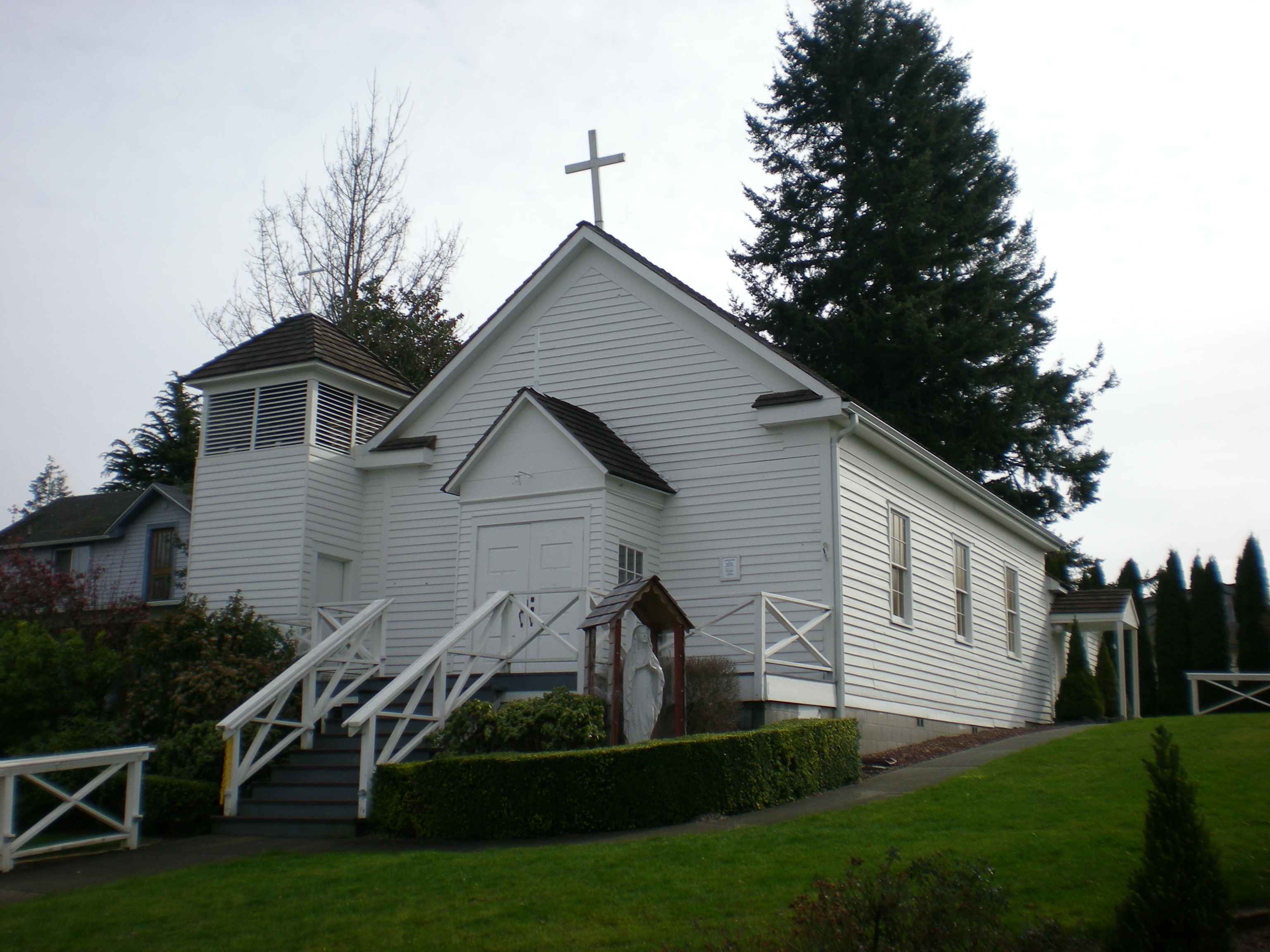
Steilacoom Catholic Church — Infobox nrhp | name =Steilacoom Catholic Church nrhp type = caption = location= Steilacoom, Washington lat degrees = 47 lat minutes = 10 lat seconds = 16.3 lat direction = N long degrees = 122 long minutes = 35 long seconds = 36.91 long direction … Wikipedia
Church of the Immaculate Conception — or Immaculate Conception Church may refer to: in Azerbaijan Church of the Immaculate Conception of the Blessed Virgin Mary, Baku, Azerbaijan in Canada Immaculate Conception Church (Palmer Road), Prince Edward Island, Canada in Malaysia Church of… … Wikipedia
Steilacoom, Washington — Infobox Settlement official name = Steilacoom, Washington settlement type = Town nickname = motto = imagesize = image caption = image imagesize = image caption = image mapsize = 250x200px map caption = Location of Steilacoom, Washington mapsize1 … Wikipedia
National Register of Historic Places listings in Pierce County, Washington — Map of all coordinates from Google Map of all coordinates from Bing … Wikipedia
Pierce County (Washington) — Verwaltung US Bundesstaat: Washington Verwaltungssitz: Tacoma Gründung: 22. Dezember 1852 Demographie Einwohner: 745.411 � … Deutsch Wikipedia
State of Washington — State of Washington † Catholic Encyclopedia ► State of Washington One of the Pacific cost states, popularly known as the Evergreen State , the sixteenth in size among the state of the Union and the twenty ninth in the order of… … Catholic encyclopedia
Duwamish tribe — Duwamish Duwamish territory shown highlighted in green. Orange blocks are modern Indian Reservations Total population About 253 (1854); about 400 enrolled members (1991), about 500 (2004).[1] … Wikipedia
Duwamish (tribe) — infobox ethnic group group = Duwamish caption = poptime =About 253 (1854); about 400 enrolled members (1991), about 500 (2004). [(1) Gibbs ( [1877] , 1967) (1.1) D Wamish on the Lake Fork of the D Wamish River, 152; Sa ma mish (Sammamish) and S… … Wikipedia
List of high schools in Washington — This is a list of high schools in the state of Washington.Adams County*Lind Junior Senior High School, Lind *Othello High School, Othello *Ritzville High School, Ritzville * [http://www.tucna.wednet.edu/default.aspx Washtucna High School,… … Wikipedia
Frances Farmer — Infobox actor bgcolour = silver name = Frances Farmer caption = imagesize = 200px birthdate = birth date|1913|09|19|mf=y location = Seattle, Washington, U.S. deathdate = death date and age|1970|08|01|1913|09|19 deathplace = Indianapolis, Indiana … Wikipedia