- River Shiel
-
River Shiel 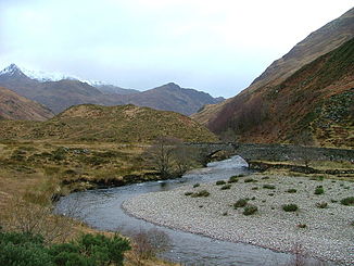
Daten Lage Unitary Authority Highland, Schottland, Vereinigtes Königreich Flusssystem River Shiel Flussgebietseinheit RBD Scotland Ursprung Loch Shiel bei Acharacle
56° 44′ 55″ N, 5° 47′ 50″ W56.748553-5.797312Mündung in die Meeresbucht Loch Moidart 56.772613-5.832553Koordinaten: 56° 46′ 21″ N, 5° 49′ 57″ W
56° 46′ 21″ N, 5° 49′ 57″ W56.772613-5.832553Der River Shiel (schottisch-gälisch Abhainn Seile) ist ein Fluss im schottischen Hochland. Er liegt in der Unitary Authority Highland. Der River Shiel entwässert Loch Shiel. Der Fluss verlässt Loch Shiel in der Nähe der Ortschaft Acharacle und mündet nach vier Kilometern über Stromschnellen in die Meeresbucht Loch Moidart.
Im River Shiel können Forellen und Lachse gefangen werden. Der Fluss wird außerdem für Rafting-Touren verwendet. Die in Ufernähe verlaufenden Wege sind bei Wanderern beliebt.
Weblinks
 River Shiel etwa 1 km vor seiner Mündung
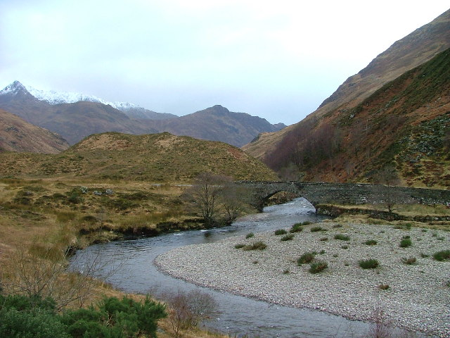
 Kategorien:
- Gewässer (Highland)
- Fluss in Schottland
- Fluss in Europa

Wikimedia Foundation.