- Pickering (North Yorkshire)
-
Pickering Koordinaten 54° 15′ N, 0° 47′ W54.2439-0.77600000000001Koordinaten: 54° 15′ N, 0° 47′ W 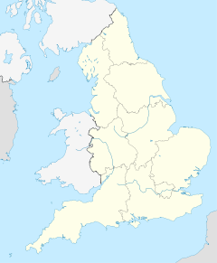

Pickering Bevölkerung 6.846 (Stand: 2001) Verwaltung Post town PICKERING Postleitzahlenabschnitt YO18 Vorwahl 01751 Landesteil England Region Yorkshire and the Humber Shire county North Yorkshire District Ryedale Britisches Parlament Thirsk and Malton Pickering ist eine Kleinstadt im District Ryedale der englischen Grafschaft North Yorkshire mit 6.846 Einwohnern.
Verkehr
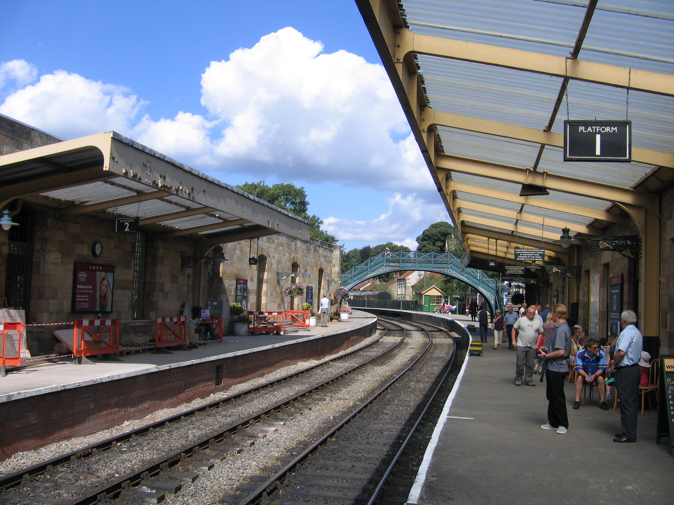
 Bahnhof Pickering
Pickering befindet sich an den Überlandstraßen A169 (Malton–Whitby) sowie A170 (Thirsk–Scarborough). Es bestehen Busverbindungen nach York über Malton sowie nach Whitby und Thirsk. Außerdem besitzt Pickering eine Stadtbuslinie.
Die nächste Bahnstation im Linienverkehr ist Malton, etwa 12 km südlich von Pickering. Der Bahnhof von Pickering ist Ausgangspunkt der North Yorkshire Moors Railway, einer während des Sommerhalbjahres nach Whitby führenden Museumseisenbahn. Pläne einer Reaktivierung der Stichstrecke von Malton nach Pickering, wodurch eine durchgängige Bahnverbindung von York bis Whitby hergestellt würde, wurden aufgrund der nicht vorhandenen finanziellen Mittel vorerst auf Eis gelegt.[1] Die Kosten einer Realisierung würden sich auf etwa £21 Mio. belaufen.
Einzelnachweise
- ↑ Ryedale District Council Local Transport Plan Statement 2003 (PDF). Ryedale District Council. Abgerufen am 8. September 2008.
Weblinks
-
 Commons: Pickering – Sammlung von Bildern, Videos und Audiodateien
 - Pickering Town Council
Kategorie:- Ort in North Yorkshire

Wikimedia Foundation.