Monte Cervati

Monte Cervati
BW

f1

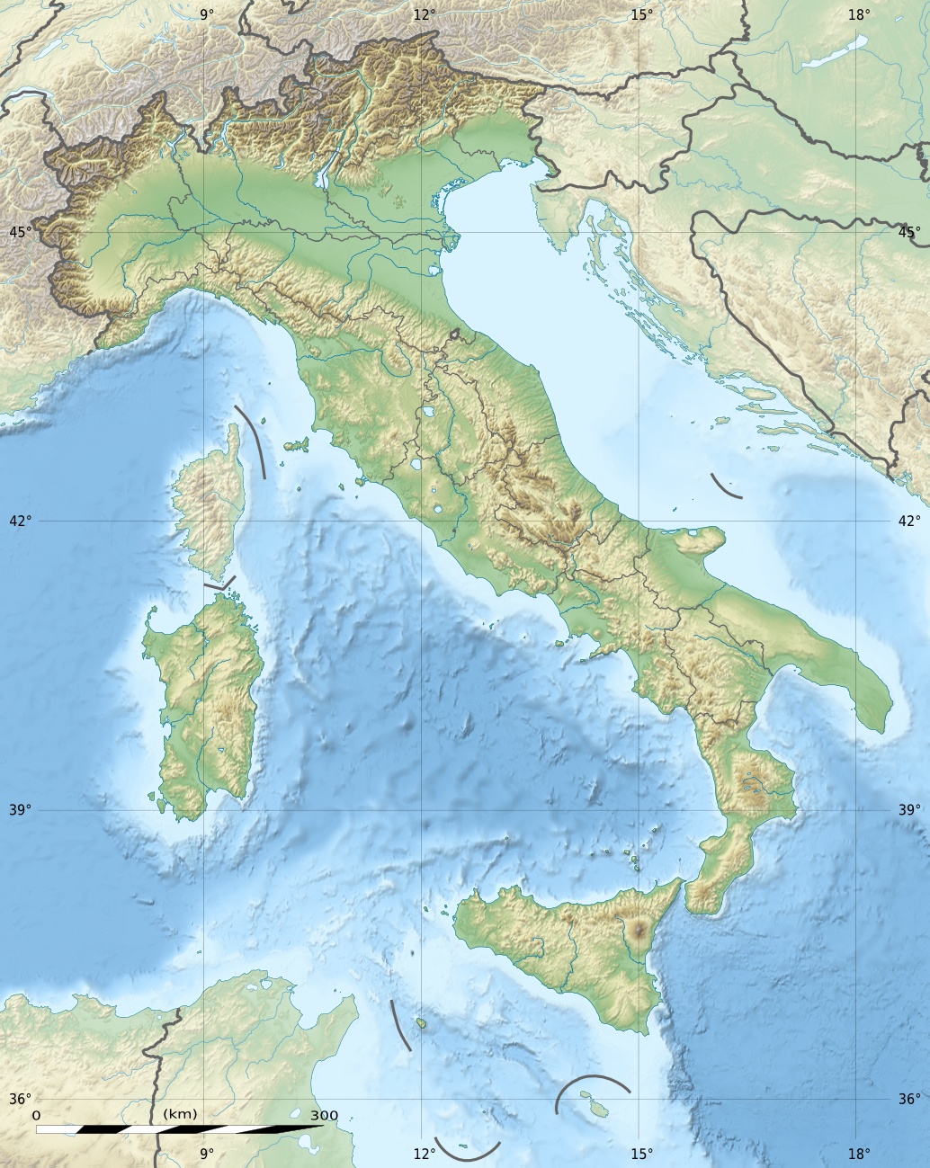
Monte Cervati
Höhe 1.898 m s.l.m.
Lage Italien, Provinz Salerno
Gebirge Südlicher Sub-Apennin
Geographische Lage 40° 16′ 0″ N, 15° 28′ 0″ O40.26666666666715.4666666666671898Koordinaten: 40° 16′ 0″ N, 15° 28′ 0″ O
Monte Cervati (Italien)
Monte Cervati
Normalweg Fußweg/Schotterdep4

Der Monte Cervati ist die höchste Erhebung im Nationalpark Cilento und Vallo di Diano in der Provinz Salerno.

Geographie

Der Berg liegt im Zentrum des Nationalparks. Im Osten bildet das Vallo di Diano seine Grenze, im Westen das Tal des Alento.

Erreichbarkeit

Auf den Monte Cervati führt ein Fußweg, der an der Straße zwischen den beiden Ortschaften Sanza und Rofrano beginnt. Des Weiteren gibt es Wanderwege ausgehend von nördlich gelegenen Ortschaften Piaggine und Laurino.

Auf dem Gipfel befindet sich die Wallfahrtskirche Madonna della Neve.


Wikimedia Foundation.

Игры ⚽ Поможем написать курсовую

Schlagen Sie auch in anderen Wörterbüchern nach:

  • Monte Cervati — Cervati País  Italia Coordenadas …   Wikipedia Español

  • Comunità Montana Zona del Gelbison e Cervati — Staat: Italien   …   Deutsch Wikipedia

  • Parque Nacional del Cilento y Valle de Diano — Saltar a navegación, búsqueda Parque nacional Cilento y Valle de Diano (Parco nazionale del Cilento e Vallo di Diano) Categoría IUCN II (Parque nacional) …   Wikipedia Español

  • Sanza — Infobox CityIT official name = Comune di Sanza img coa = img coa small = image caption = region = RegioneIT|sigla=CAM province = ProvinciaIT (short form)|sigla=SA (SA) mayor = mayor party = elevation footnotes = elevation m = 558 area footnotes …   Wikipedia

  • Calore lucano — Infobox River | river name = Calore lucano caption = origin = Monte Cervati elevation = mouth = Sele basin countries = Italy length = 63 km discharge = 29.80 m³/s watershed = 780 km²: It is frequently confused with another river in Italy named… …   Wikipedia

  • Calore Lucano — Vorlage:Infobox Fluss/KARTE fehlt DatenVorlage:Infobox Fluss/GKZ fehlt …   Deutsch Wikipedia

  • Mingardo — Schlucht bei San Severino (Centola)Vorlage:Infobox Fluss/KARTE fehlt Daten …   Deutsch Wikipedia

  • Wikiproyecto:Patrimonio de la Humanidad — Patrimonio de la Humanidad …   Wikipedia Español

  • List of national parks of Italy — Gennargentu National Park, Sardinia The Italian national parks cover about five percent of the country. The parks are managed by the Ministry of the Environment (Italian: Ministero dell Ambiente).[1] …   Wikipedia

  • Subapeninos — El Monte Pisanino visto desde el Tambura. País(es)   …   Wikipedia Español

Share the article and excerpts

Direct link
Do a right-click on the link above
and select “Copy Link”