Furzebrook

Furzebrook
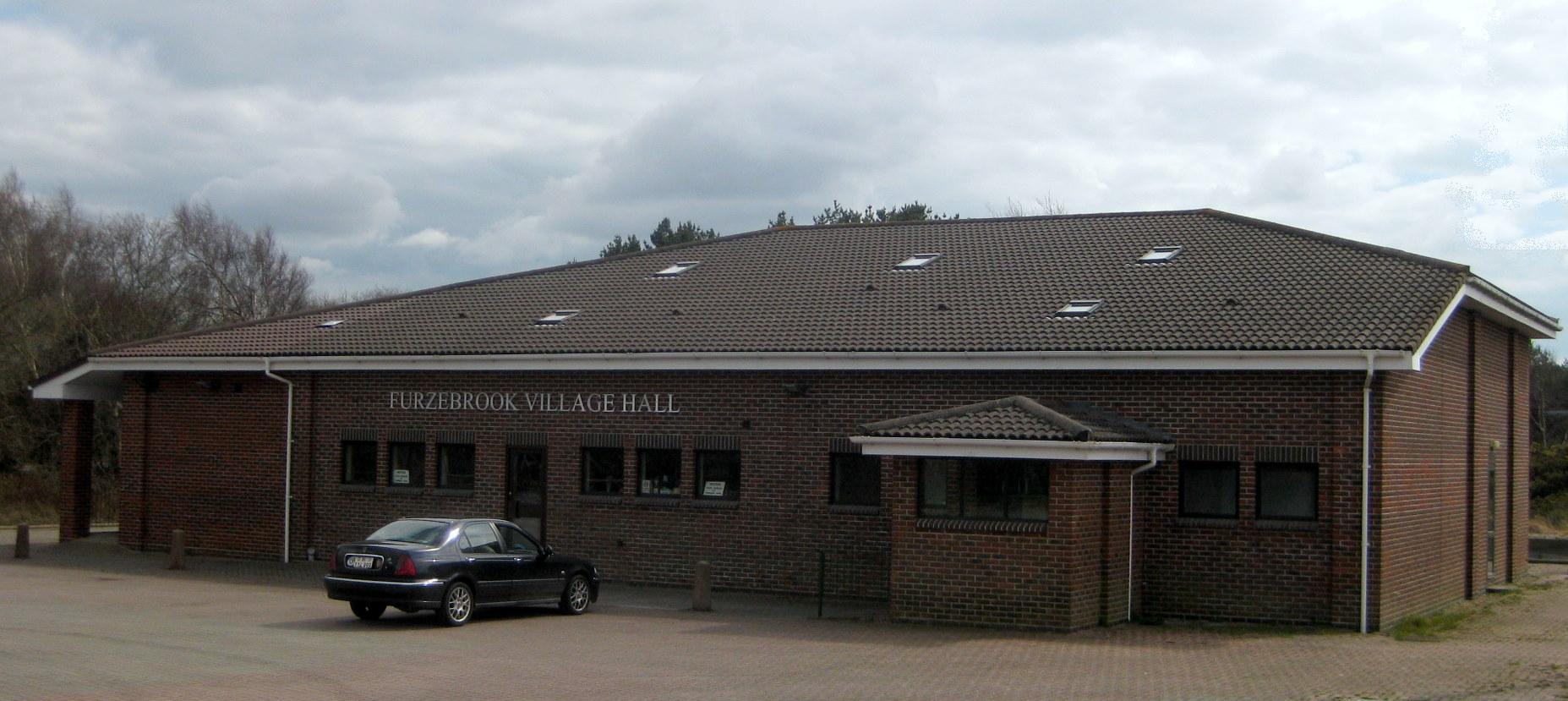
Furzebrook
Furzebrook Village Hall.jpg
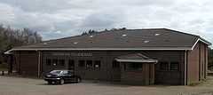
Koordinaten 50° 39′ N, 2° 6′ W50.656-2.108Koordinaten: 50° 39′ N, 2° 6′ W
Furzebrook (England)
Furzebrook
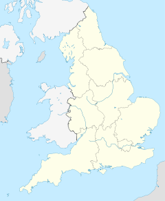
Furzebrook
Verwaltung
Post town Wareham (Dorset)
Postleitzahlen­abschnitt BH20
Vorwahl 1929
Landesteil England
Region South West England
Shire county Dorset
District Purbeck

Furzebrook ist ein kleines Dorf auf der Halbinsel Isle of Purbeck in der Grafschaft Dorset im Süden von England.

Der Ort liegt etwa drei Kilometer südlich von Wareham und fünf Kilometer westlich von Corfe und Corfe Castle sowie etwa zwölf Kilometer südwestlich der großen Städte Poole und Bournemouth.

Der Name Furzebrook stammt vermutlich von den englischen Worte furze/gorse für Stechginster und brook für ein Fließgewässer. Die erste Verwendung des Namens kommt wahrscheinlich bei Furzebrook Farm vor.

Furzebrook wurde zum Zentrum der Tonindustrie. Die lokalen Vorkommen von Purbeck Ball Clay, einem Tonmineral, wurden dort zu abgebaut, durch sechsmonatiges wiederholtes Wenden weiterverarbeitet und mit anderen Tonarten vermischt, um diesen mehr Plastizität zu verleihen. In der Nähe von Furzebrook gibt es mehrere Schmalspurbahnen, die in die Minen und Tongruben der Umgebung führen. Eine weitere Schmalspurbahn verlief nach Ridge Wharf. Als die Wareham-Swanage-Nebenlinie der London and South Western Railway gebaut wurde, wurde diese durch Furzebrook geführt, sodass der Purbeck Ball Clay über diese Strecke abtransportiert werden konnte.

Furzebrook ist heute der Bahnhof für den Abtransport des Öls aus dem nahen Wytch-Farm-Ölfeld.

Siehe auch

Blue Pool


Wikimedia Foundation.

Игры ⚽ Нужна курсовая?

Schlagen Sie auch in anderen Wörterbüchern nach:

  • Furzebrook Railway — Infobox rail railroad name=Furzebrook Railway gauge=c.4 ft (1830) 2 ft 8½ in (1866) start year=c.1830 end year=1957 length=3 frac12; miles hq city=Furzebrook locale=England successor=AbandonedThe Furzebrook Railway, also known as the Pike… …   Wikipedia

  • Purbeck Ball Clay — Mine …   Deutsch Wikipedia

  • Blue Pool — The Blue Pool, Furzebrook Estate …   Deutsch Wikipedia

  • Swanage Railway — The Swanage Railway is a six mile long heritage railway in the Purbeck district of Dorset, England. The railway follows the route of the Purbeck branch line (Norden Park Ride Corfe Castle Harman s Cross Herston Halt Swanage), and has been… …   Wikipedia

  • Corfe Castle railway station — Corfe Castle Steam loco 80078 pulls into Corfe Castle station. The castle is visible in the background. Location Place …   Wikipedia

  • Isle of Purbeck — Fishermans ledge in Purbeck Gewässer Ärmelkanal …   Deutsch Wikipedia

  • Purbeck Ball Clay — is a concentration of ball clay found on the Isle of Purbeck in the English county of Dorset.GeologyThe main concentration of ball clay in Dorset is to the north of the Purbeck Hills centred around Norden. Ball clays are sedimentary in origin.… …   Wikipedia

  • Blue Pool — The Blue Pool is a lake in the Furzebrook Estate, a convert|25|acre|m2 park of heath woodland and gorse near Furzebrook in Dorset, England.http://www.bluepooltearooms.co.uk/ www.BluePoolTeaRooms.co.uk] The pool is a flooded, disused clay pit… …   Wikipedia

  • River Frome, Dorset — The River Frome (pronEng|fruːm) is a river in Dorset in the south of England. At 30 miles (48 km) long it is the major chalkstream in southwest England. It is navigable upstream from Poole Harbour as far as the town of Wareham. GeographyThe river …   Wikipedia

  • Narrow Gauge Railway Museum — Inside the Narrow Gauge Railway Museum, 2008 The Narrow Gauge Railway Museum (Welsh: Amgueddfa Rheilffyrdd Bach Cul) is a purpose built museum dedicated to narrow gauge railways situated at the Tywyn Wharf station of the Talyllyn Railway in Tywyn …   Wikipedia

Share the article and excerpts

Direct link
Do a right-click on the link above
and select “Copy Link”