- Coram’s Fields
-
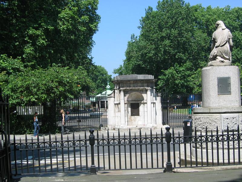
 Das Haupttor von Coram’s Fields
 Hinweistafel, die Besucher auf das Zugangsverbot für Erwachsene aufmerksam macht
Coram’s Fields, offizielle Langform: Coram’s Fields and the Harmsworth Memorial Playground,[1] sind eine rund 2,8 Hektar große Parkanlage im Londoner Stadtbezirk Camden. Der nach dem Geschäftsmann und Philanthropen Thomas Coram benannte Park liegt etwa 500 Meter südöstlich der beiden Bahnhöfe King’s Cross und St Pancras. Im Park befinden sich neben verschiedenen Sportanlagen und Spielplätzen ein Jugendzentrum, ein Kindergarten und ein Tiergehege.
Coram’s Fields befinden sich am ehemaligen Standort des 1739 von Coram gegründeten Kinderheimes Foundling Hospital. 1926 wurde das Heim in die etwa 30 Kilometer südlich gelegene Kleinstadt Redhill verlegt; das Gelände wurde in der Folge verkauft und das Gebäude abgetragen. Der Plan des neuen Eigentümers, den Obst-, Gemüse- und Blumenmarkt von Covent Garden nach Camden zu übersiedeln, scheiterte an lokalem Widerstand. 1936 schließlich erwarb eine Interessengruppe unter finanzieller Führung von Harold Harmsworth das Grundstück und wandelte es in einen Kinderspielplatz um.[2]
Auch heute ist der Park ausschließlich zur Nutzung durch Kinder und Jugendliche freigegeben. Erwachsene dürfen Coram’s Fields nur in Begleitung eines Kindes oder Jugendlichen unter 16 Jahren betreten.
1987 wurden Coram’s Fields zusammen mit den angrenzenden öffentlichen Gärten Brunswick Square und Mecklenburgh Square in die britische Denkmalliste aufgenommen, wo sie als „von nationaler Bedeutung und speziellem Interesse“ (Grade II) eingestuft sind.[3] Der Park wird heute von einem unabhängigen Wohlfahrtsverband verwaltet; pro Jahr nutzen ihn mehr als 150.000 Besucher.[4]
Die nächstgelegene Station der London Underground ist Russell Square.
Weblinks
 Commons: Coram’s Fields – Sammlung von Bildern, Videos und Audiodateien
- Offizielle Website (englisch)
- Coram’s Fields auf der Website des London Borough of Camden (englisch)
Einzelnachweise
- ↑ Coram’s Fields and the Harmsworth Memorial Playground. Charity Commission for England and Wales. Abgerufen am 14. Mai 2011.
- ↑ Rhian Harris: The Foundling Hospital. BBC History. Abgerufen am 14. Mai 2011.
- ↑ Coram’s Fields, with Mecklenburgh and Brunswick Squares. Datenbank der National Heritage List for England. Abgerufen am 14. Mai 2011.
- ↑ Coram’s Fields and the Harmworth Memorial Playground – Summary Information Return 2010. Charity Commission for England and Wales. Abgerufen am 15. Mai 2011. (PDF-Datei, 13 KB)
51.525-0.12039999999999Koordinaten: 51° 31′ 30″ N, 0° 7′ 13″ WKategorien:- Parkanlage in London
- Grade-II-Bauwerk (London)
- London Borough of Camden

Wikimedia Foundation.