Cape Cod National Seashore
- Cape Cod National Seashore
-

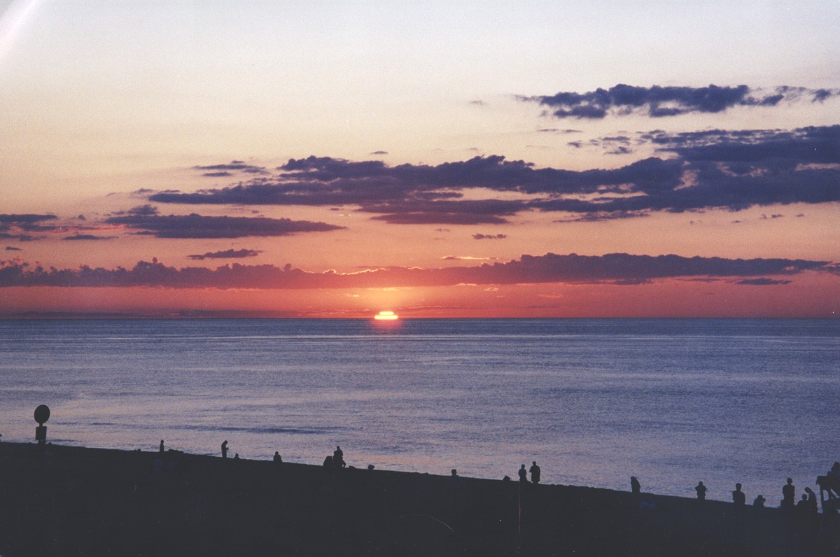
Sonnenuntergang im späten Juli an der Race Point Beach
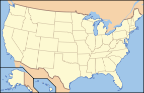
Die Cape Cod National Seashore (CCNS) ist eine von zwölf US-amerikanischen National Seashores. Sie umfasst 176 km² Teiche, Wald und Strand am Cape Cod in Massachusetts. Das CCNS umfasst nahezu 60 km Küste entlang des zum Atlantik gerichteten Bereichs des Cape Cod in den Orten Provincetown, Truro, Wellfleet, Eastham, Orleans und Chatham.
Der Park wurde am 7. August 1961 von Präsident John F. Kennedy gegründet. Das CCNS wird vom National Park Service verwaltet, zum Schutz von Natur und Landschaft und zur touristischen Nutzung.
Erwähnenswerte Orte umgeben vom CCNS umfassen die Marconi Wireless Station Site (41°53'30" N, 69°57'48" W)41.891630418889-69.96335707527813 , die Stelle der ersten transatlantischen Radioübertragung und das Highlands Center for the Arts, früher die North Truro Air Force Station. Der Findling Doane Rock (41°50'40" N, 69°57'28" W)41.844422363889-69.95781833333315 befindet sich auch auf dem Gebiet.
Als Teil der NPS Centennial Initiative wird bis 2016 die Flussmündung des Herring Rivers durch die Entfernung von Deichen und Entwässerungsgräben aus dem Jahr 1909 wieder renaturiert.
Weblinks
Kategorien:
- National Seashore (Vereinigte Staaten)
- Geographie (Massachusetts)
Wikimedia Foundation.
Schlagen Sie auch in anderen Wörterbüchern nach:
Cape Cod National Seashore — Infobox Protected area name = Cape Cod National Seashore iucn category = V caption = locator x = 270 locator y = 49 location = Barnstable County, Massachusetts, USA nearest city = Provincetown, MA lat degrees = 42 lat minutes = 04 lat seconds =… … Wikipedia
National Register of Historic Places listings in Cape Cod National Seashore — This is a list of the National Register of Historic Places listings in Cape Cod National Seashore. This is intended to be a complete list of the properties and districts on the National Register of Historic Places in Cape Cod National Seashore,… … Wikipedia
Cape Cod — Blick aus dem All auf Cape Cod Gewässer 1 Buzzards Bay, Nantucket Sound Gewässer 2 … Deutsch Wikipedia
Cape Cod — This article is about the area of Massachusetts. For other uses, see Cape Cod (disambiguation). For other uses, see Cod (disambiguation). Coordinates: 41°41′20″N 70°17′49″W / … Wikipedia
Cape Cod — Cap Cod Localisation du Cap Cod (en rouge) … Wikipédia en Français
National Seashore — Inseln im Schutzgebiet Canaveral National Seashore Als National Seashore (engl. Nationale Meeresküste) werden an der Küste gelegene Schutzgebiete in den Vereinigten Staaten bezeichnet, die durch die Bundesregierung der Vereinigten Staaten als… … Deutsch Wikipedia
National seashore — A National Seashore, in the United States, is a seashore area federally designated as being of natural and recreational significance as a preserved area.There are 10 National Seashores with a total area of 479,054 acres (1,938.4 km²).cite book |… … Wikipedia
Cape Cod Highland Light — Infobox Lighthouse caption = Cape Cod Highland Lighthouse location = Near Truro, Massachusetts coordinates = 42.02 –70.03 yearbuilt = 1857 yearlit = 1857 automated = 1986 yeardeactivated = foundation = construction = Brick shape = Round tower… … Wikipedia
Cape Cod — 1. a sandy peninsula in SE Massachusetts between Cape Cod Bay and the Atlantic Ocean: many resort towns. 2. a style of cottage developed mainly on Cape Cod, Massachusetts, in the 18th and early 19th centuries, typically a rectangular one or one… … Universalium
Cumberland Island National Seashore — IUCN Category II (National Park) … Wikipedia