- Caladesi Island State Park
-
 Wanderweg
 Strand im Caladesi Island State Park
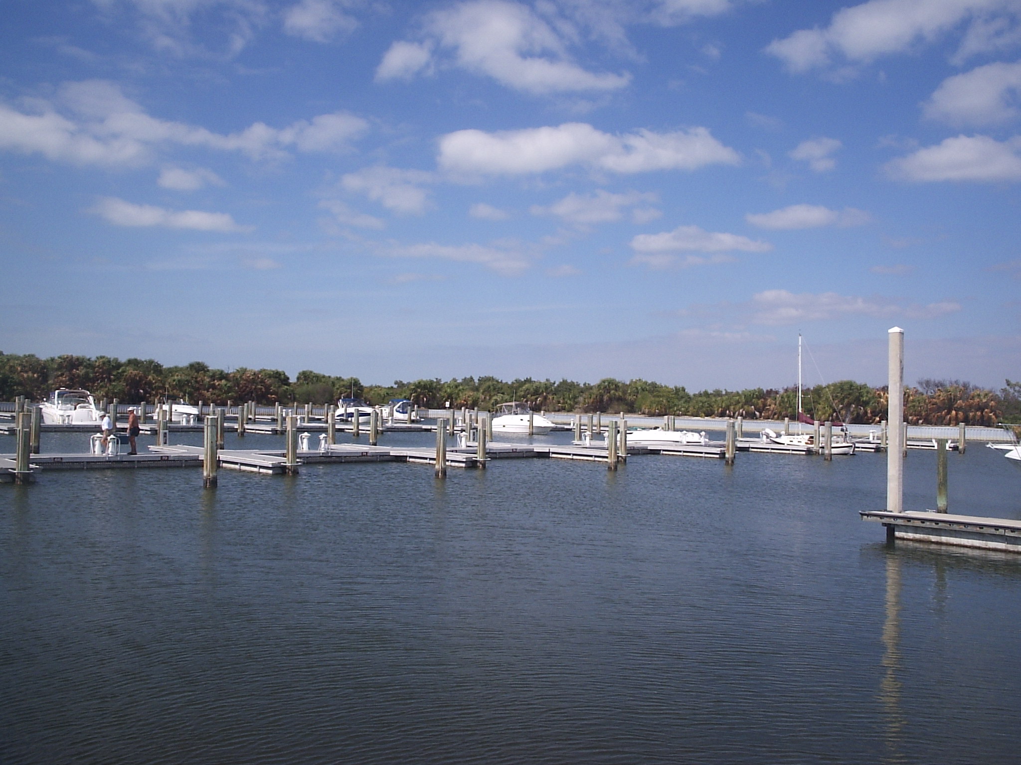
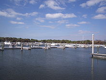 Marina
Der Caladesi Island State Park zählt zu den Florida State Parks und liegt auf der Golf-Insel Caladesi Island nördlich von Clearwater Beach. Die Insel Caladesi Island zählt zur Gemeinde Dunedin. Der Staat Florida kaufte die Insel 1967, um sie als State Park auszuweisen.
Besucher erreichen Caladesi Island über eine kleine Personenfähre von der Nachbarinsel Honeymoon Island aus oder mit dem eigenen Boot. Eine Straßenverbindung existiert nicht. Im Jahre 2008 wurde der Caladesi Island State Park als bester Strand der USA gekürt.[1] [2] Schon im Jahre 2006 sowie 2007 erreichte der Strand vom Caladesi Island State Park in dem von Dr. Beach veröffentlichen Ranking jeweils Platz 2 der besten Strände Amerikas.[3] Neben dem Strand ist der Caladesi Island State Park beliebter Anlaufpunkt für Erholungssuchende, die hier einen knapp fünf Kilometer langen Naturpfad, Picknickplätze, einen Spielplatz und eine Marina mit 108 Liegeplätzen vorfinden.[4] Mehr als 250 verschiedene Vogelarten können im State Park beobachtet werden.[5]
Verweise
- ↑ http://www2.tbo.com/content/2008/may/23/me-floridas-sand-blast/news-metro/
- ↑ http://www.sptimes.com/News/050500/Outdoors/The_Beach_at_Caladesi.shtml
- ↑ http://www.floridasbeach.com/cms/index.php?id=3230
- ↑ http://www.floridastateparks.org/caladesiisland/default.cfm
- ↑ http://www.floridastateparks.org/caladesiisland/docs/CaladesiBirdList.pdf
Weblinks
28.02-82.821111111111Koordinaten: 28° 1′ 12″ N, 82° 49′ 16″ WKategorien:- State Park in Florida
- Strand in den Vereinigten Staaten


Wikimedia Foundation.