- Arne (Dorset)
-
Arne Die St. Nicolas von Myra Kirche in Arne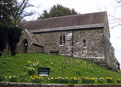
Koordinaten 50° 42′ N, 2° 2′ W50.69276-2.04061Koordinaten: 50° 42′ N, 2° 2′ W 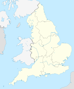

Arne Bevölkerung 1.344 Verwaltung Post town Wareham (Dorset) Postleitzahlenabschnitt BH20 Vorwahl 1929 Landesteil England Region South West England Shire county Dorset District Purbeck Website: www.arne.co.uk Arne ist ein Dorf und ein Civil parish auf der Halbinsel Isle of Purbeck in der Grafschaft Dorset im Süden von England.
Inhaltsverzeichnis
Lage
Arne liegt etwa 7 Kilometer (4 Meilen) östlich von Wareham, sowie südwestlich der Grossstadt Bournemouth und circa 7 Kilometer nördlich vom Dorf Corfe Castle und der Burgruine Corfe Castle. Das Dorf liegt auf der Halbinsel Arne die in Poole Harbour hinein ragt, gegenüber der Stadt Poole, und umfasst das gesamte Gebiet zwischen Corfe Castle und Wareham.
Die Gemeinde Arne ist Teil des Purbeck Verwaltungsbezirks. Die Gemeinde hat eine Bevölkerung von 1344, lebend in 612 Wohnungen oder Häuser, gemäß der Volkszählung von 2001.
Das Wort Arne stammt aus dem anglo-sächsischen "aern" und bedeutet "Wohnstätte".
Neben dem Dorf und der Halbinsel von Arne, die bürgerliche Gemeinde umfasst ein bedeutendes Gebiet westlich von Arne und südwestlich von Wareham, einschließlich der Dörfer Ridge, Stoborough, Stoborough Green und Worgret und hat eine Fläche von 24,83 Quadratkilometern.
Geschichte
Das Dorf wurde 1285 erstmals Dokumentarisch erwähnt. In der Doomsday Book 1086 wurde Arne nicht erwähnt, aber wahrscheinlich gab es das Dorf damals bereits schon.
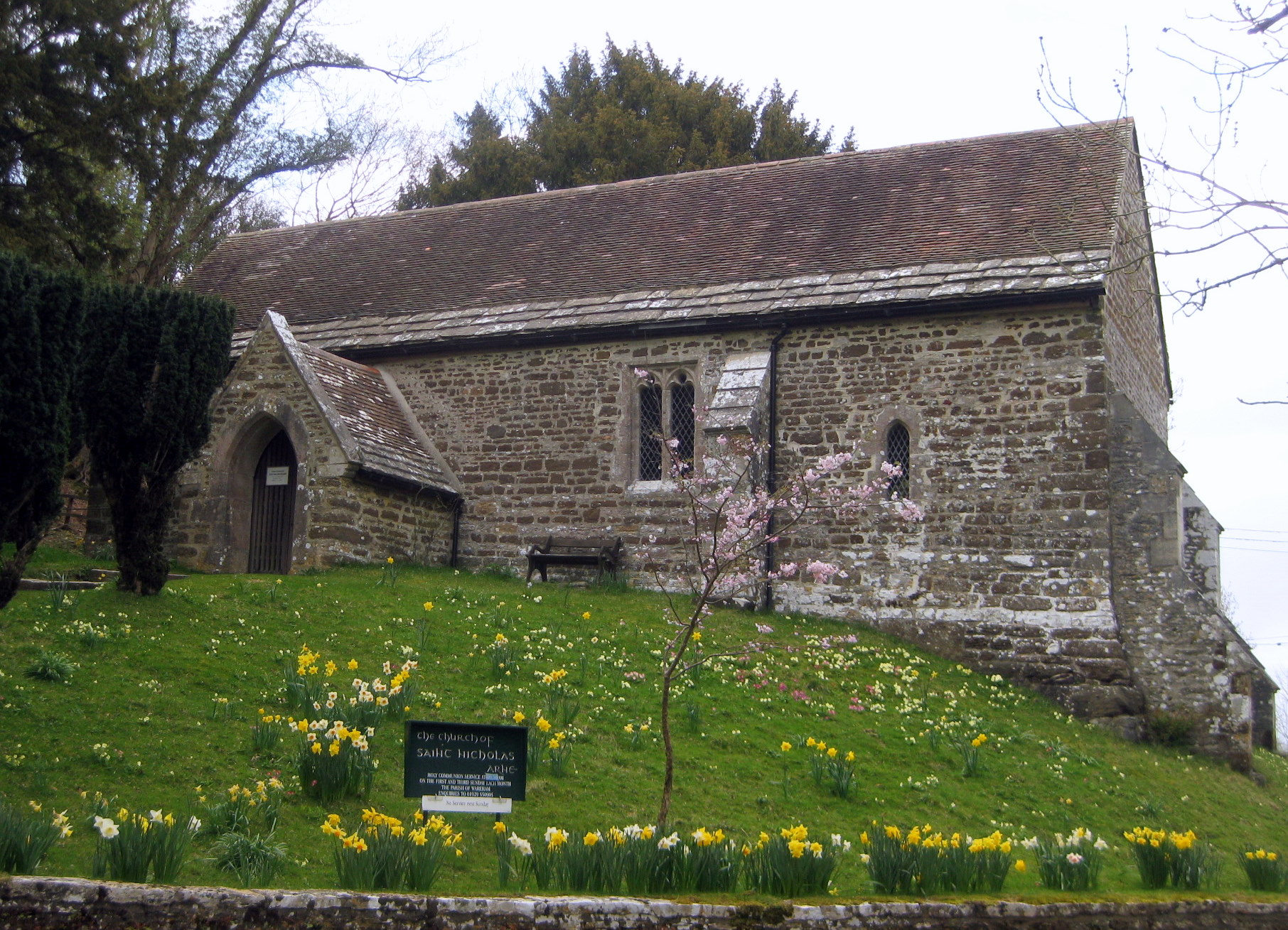
Die Kirche des Heiligen Nikolaus von Myra ist ein altes, kleines Gebäude, auf dem Scheitel eines großen Deiches und ist über 900 Jahre alt. Die Kirche ist aus Purbeck Stein gebaut und hat Platz für 60 Personen. Sie ist durchaus bedeutend, ungeachtet der Größe. Sie hat nur eine Glocke. Die Orgel wurde von Gray und Davidson in London gebaut. Sie war eine Gabe von Louisa Countess von Eldon in 1812.
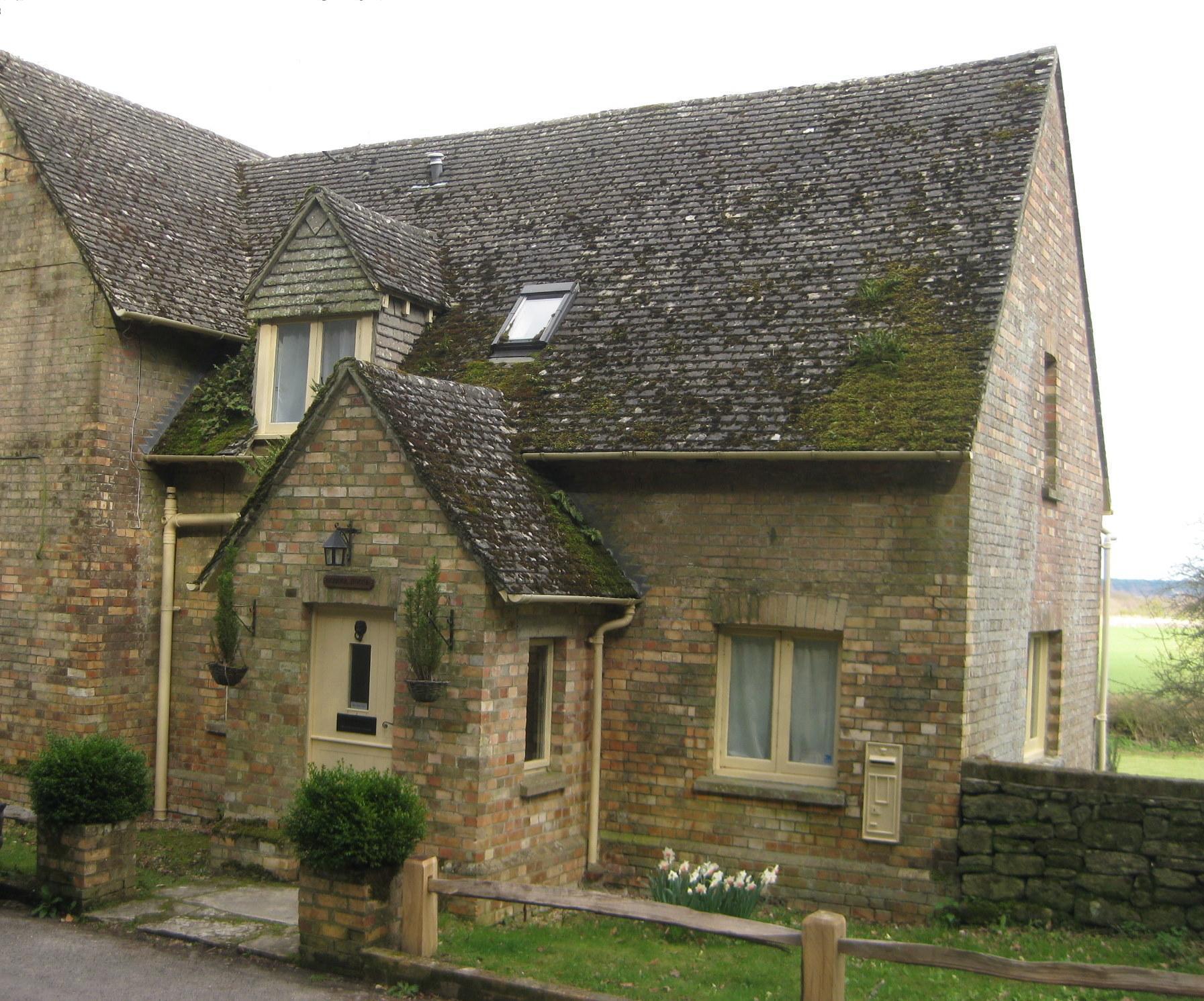
Die Schule wurde 1832 gegründet, aber wurde bereits 1922 wieder geschlossen.
Neben einigen kleinen Landwirtschaftsbetrieben, gedieh das ganze Gebiet aus dem Gewinn und Export von Purbeck Ball Clay. Ein Großteil wurde auf dem Fluss Frome transportiert, ein Teil per Schiene auf Schmalspurbahnen nach Poole Hafen. Purbeck Ball Clay wurde in Arne auch verarbeitet und getrocknet. Die Ball Clay Branche existiert Heute noch, um Furzebrook und der Ton wird jetzt per Lastwagen oder Normalspur Zügen verfrachtet.
Arne ist wahrscheinlich am besten bekannt infolge die Arne RSPB Reserve (Royal Society for the Protection of Birds). Die Reserve wurde 1966 eröffnet. Das Gebiet ist direkt angrenzend an das Dorf selber. Es liegt innerhalb der "Dorset AONB" (Area of Outstanding Natural Beauty).
Weblinks
Arne RSPB Reserve auf RSPB Homepage
Gallery
-
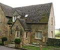
Das Schulhaus von Arne
-
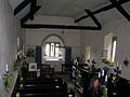
Die Sicht in der Kirche
-
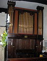
Die Orgel der Kirche
Kategorien:- Isle of Purbeck
- Ort in Dorset
-


Wikimedia Foundation.