- Alfriston
-
Alfriston Koordinaten 50° 49′ N, 0° 10′ O50.810.16Koordinaten: 50° 49′ N, 0° 10′ O 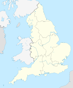

Alfriston Bevölkerung 774 (Stand: (2007)[1]) Fläche 9,36 km² (3,61) [1] Verwaltung Post town POLEGATE Postleitzahlenabschnitt BN26 Vorwahl 01323 Landesteil England Region South East England Shire county East Sussex District Wealden Britisches Parlament Lewes Website: www.alfriston-village.co.uk Alfriston ist ein Dorf in der Grafschaft East Sussex, England. Das Dorf liegt im Tal des Flusses Cuckmere, etwa sechs Kilometer von Seaford. Bei der Volkszählung im Jahr 2001 wurden 774 Einwohner gezählt.
Das Dorf wird von vielen Touristen besucht, weil es mit seinem intakten alten Ortskern ein typisches englisches Dorf darstellt. Am Rand des Dorfes in der Nähe des Flusses befindet sich die St. Andrew’s Church. Sie wurde um 1370 erbaut und wird auch „Cathedral of the Downs“ genannt.
-

Church of St. Andrew
-

The Star Inn
-
The George Inn
-

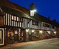
The Smugglers Inn
Im Jahr 1931 schrieb Eleanor Farjeon die populäre Hymne Morning Has Broken in Alfriston, angeblich über die Schönheit, die sie um sich sah in diesem Dorf. Das Lied wurde später von Cat Stevens gesungen.
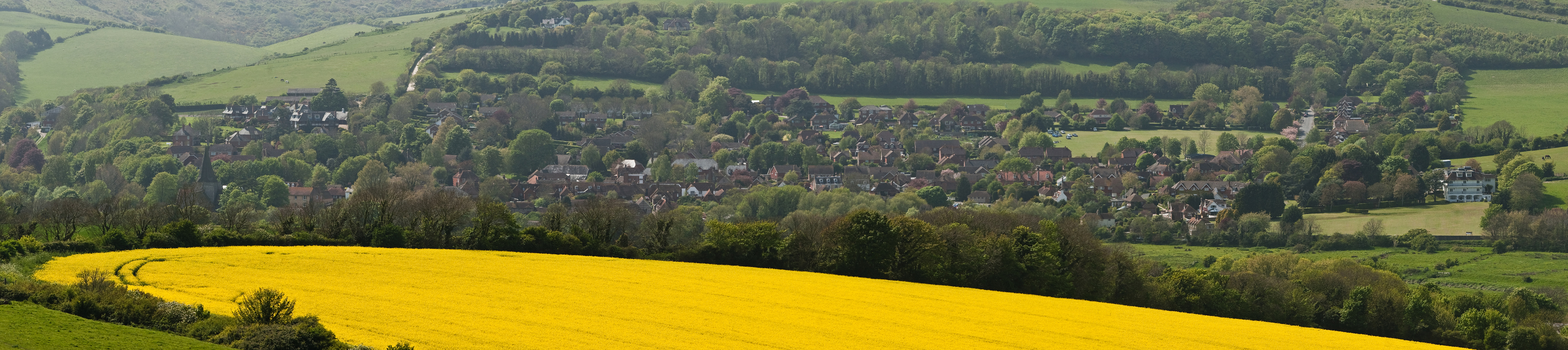
 A panoramic view of the village of Alfriston from the South Downs Way bridleway
Einzelnachweise
- ↑ a b East Sussex in Figures. East Sussex County Council. Abgerufen am 26. April 2008.
Kategorie:- Ort in East Sussex
-


Wikimedia Foundation.