Big South Cape Island

Big South Cape Island

Vorlage:Infobox Insel/Wartung/Bild fehlt

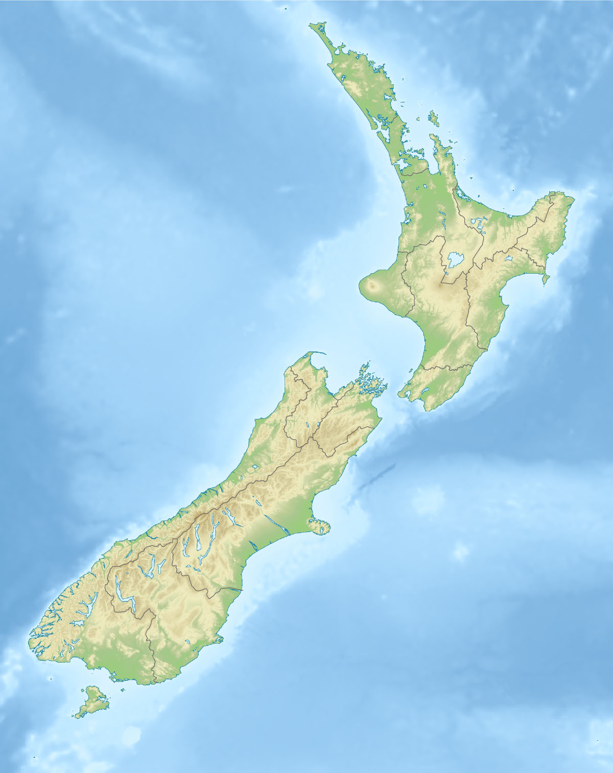
Big South Cape Island
Gewässer Pazifischer Ozean
Geographische Lage 47° 14′ 28″ S, 167° 23′ 55″ O-47.2409922167.3985631235Koordinaten: 47° 14′ 28″ S, 167° 23′ 55″ O
Big South Cape Island (Neuseeland)
Big South Cape Island
Länge 5,5 km
Breite 2,5 km
Fläche 9,39 km²
Höchste Erhebung 235 m

Big South Cape Island oder Taukihepa ist eine Insel im extremen Süden Neuseelands. Sie befindet sich etwa 1,5 Kilometer vor dem Südwestkap der zur Region Southland gehörenden Insel Stewart Island.

Die Insel ist 939 Hektar groß und bis zu 235 Meter hoch.[1]

Im Südwesten der Insel befindet sich die Südwestkette der Titi Islands. Unmittelbar südlich der Insel liegt Poutama Island, nördlich liegen Pukeweka Island und Rewewhakaupoko Island oder Solomon Island sowie die sogenannten "Boat-Group" der Südwestkette der Titi Islands.

Die Insel war einer der beiden letzten Zufluchtsorte des seltenen Vogels Tieke (Sattelvogel). Die Ratten erreichten 1963 auch diese Insel, vermutlich mit Booten von "Mutton Birders", die auf der Jagd nach Sturmtauchern (Titi oder Muttonbird) waren. Nur eine schnelle Rettungsoperation des New Zealand wildlife service (heute Department of Conservation) rettete die dortige Unterart vor dem Aussterben, während die hiesigen Populationen von Antipodeninselschnepfe, Waldschlüpfer und Großer Neuseelandfledermaus den Ratten zum Opfer vielen. 36 Tiere wurden von dieser Insel auf andere, rattenfreie Inseln gebracht und konnte sich dort wieder etablieren.

Quellen

  1. Rodent invasion Project

Wikimedia Foundation.

Игры ⚽ Нужен реферат?

Schlagen Sie auch in anderen Wörterbüchern nach:

  • Big Stony Petrel Island — is an island game reserve with an area of 7.2 ha, in south eastern Australia. It is part of the Petrel Island Group, lying in Bass Strait close to Walker and Robbins Islands in north west Tasmania.FaunaRecorded breeding seabird, shorebird and… …   Wikipedia

  • Big Sandy Petrel Island — is an island game reserve with an area of 15.2 ha, in south eastern Australia. It is part of the Petrel Island Group, lying in Bass Strait close to Walker and Robbins Islands in north west Tasmania.FaunaRecorded breeding seabird, shorebird and… …   Wikipedia

  • South Island Snipe — Conservation status Extinct (IUCN 3.1) Scientific classification Kingdom …   Wikipedia

  • South West Cape — Lage des Südwestkaps …   Deutsch Wikipedia

  • Stewart Island/Rakiura — Stewart Island/RakiuraTerritorial AuthorityNameStewart Island/RakiuraPopulation402 (2006)Land area1,746 km²Regional CouncilNameSouthland Stewart Island / Rakiura is the third largest island of New Zealand. It lies convert|30|km south of South… …   Wikipedia

  • South Florida metropolitan area — South Florida redirects here. For the university in Tampa, see University of South Florida. For that school s athletic program, see South Florida Bulls. Miami–Fort Lauderdale–Pompano Beach Common name: South Florida Larg …   Wikipedia

  • South West Coast Path — The starting point at Minehead Length 630 miles (1,014 km) Location England: Somerset, Devon, Cornwall …   Wikipedia

  • South America — South American. a continent in the S part of the Western Hemisphere. 271,000,000; ab. 6,900,000 sq. mi. (17,871,000 sq. km). * * * Continent, Western Hemisphere. The world s fourth largest continent, it is bounded by the Caribbean Sea to the… …   Universalium

  • Island Breeze — Big Red Boat III Big Red Boat III Noms : 1961 1966: RMS Transvaal Castle 1966 1977: RMS SA Vaal 1977 1996: SS Festivale 1996 2000: SS IslandBreeze 2000 2003: SS Big Red Boat III 2003: SS The Big Red Boat Type : Navire de croisière …   Wikipédia en Français

  • Cape York Melomys — Cape York Mosaic tailed Rat Conservation status Least Concern (IUCN 3.1)[1] …   Wikipedia

Share the article and excerpts

Direct link
Do a right-click on the link above
and select “Copy Link”