West Cape

West Cape
-45.904166666667166.42638888889
West Cape (Neuseeland)
West Cape
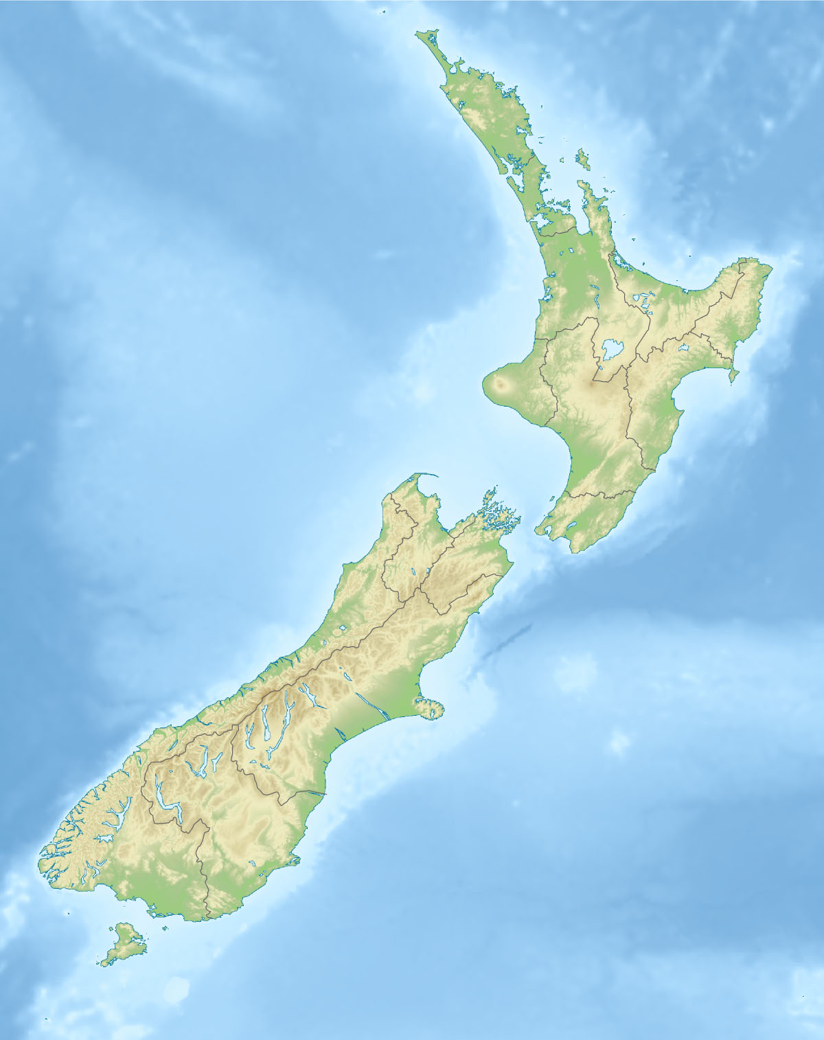
West Cape

West Cape ist die westlichste Stelle der Hauptkette der Neuseeländischen Inseln. Es liegt im Südwesten Neuseelands innherbalb des Fiordland National Parks zwischen Dusky Sound und Chalky Inlet, beides Fjorde im Fiordland National Park.


Wikimedia Foundation.

Игры ⚽ Нужен реферат?

Schlagen Sie auch in anderen Wörterbüchern nach:

  • West Cape — (coord|45.9060|S|166.4276|E|) is the westernmost point in the main chain of islands of New Zealand. It is located in the far southwest of the South Island, within Fiordland National Park, between Dusky Sound and Chalky Inlet.External Links* [http …   Wikipedia

  • West Cape May Elementary School — is a community public school district and elementary school located in West Cape May, New Jersey, United States that serves students in grades kindergarten through sixth grade.For grades 7 12, public school students attend the schools of the… …   Wikipedia

  • West Cape May — Borough de los Estados Unidos Entrada a West Cape May …   Wikipedia Español

  • West-Cape-Howe-Nationalpark — West Cape Howe Nationalpark …   Deutsch Wikipedia

  • West Cape, Prince Edward Island — West Cape is a cape and an unincorporated community located at the western most extremity of Prince Edward Island, Canada.Contrary to popular belief, West Cape is the westernmost extreme point of Prince Edward Island, as opposed to West Point,… …   Wikipedia

  • West Cape May — West Cape May, NJ U.S. borough in New Jersey Population (2000): 1095 Housing Units (2000): 1004 Land area (2000): 1.185647 sq. miles (3.070812 sq. km) Water area (2000): 0.000000 sq. miles (0.000000 sq. km) Total area (2000): 1.185647 sq. miles… …   StarDict's U.S. Gazetteer Places

  • West Cape May, NJ — U.S. borough in New Jersey Population (2000): 1095 Housing Units (2000): 1004 Land area (2000): 1.185647 sq. miles (3.070812 sq. km) Water area (2000): 0.000000 sq. miles (0.000000 sq. km) Total area (2000): 1.185647 sq. miles (3.070812 sq. km)… …   StarDict's U.S. Gazetteer Places

  • West Cape Howe National Park — West Cape Howe is a national park in Western Australia (Australia), 390 km southeast of Perth.;Fact sheet * Area: 35 km² * Coordinates : coord|35|06|22|S|117|35|34|E|type:landmark region:AU * Date of establishment: 1985 * Managing authorities:… …   Wikipedia

  • West Cape May, New Jersey — Infobox Settlement official name = West Cape May, New Jersey settlement type = Borough nickname = motto = imagesize = image caption = Sign indicating West Cape May image image mapsize = 250x200px map caption = West Cape May Borough highlighted in …   Wikipedia

  • West Cape May — Original name in latin West Cape May Name in other language State code US Continent/City America/New York longitude 38.93872 latitude 74.94184 altitude 4 Population 1024 Date 2011 05 14 …   Cities with a population over 1000 database

Share the article and excerpts

Direct link
Do a right-click on the link above
and select “Copy Link”