Public housing estates on Tsing Yi Island — Public Housing Estates on Tsing Yi Island, Hong Kong including Home Ownership Scheme (HOS), Private Sector Participation Scheme (PSPS), Tenants Purchase Scheme (TPS), Flat for Sale Scheme (FFSS) Constituency map, showing approx location of… … Wikipedia
Public Housing Estates on Tsing Yi Island — History At early 1970s, the residents of Tsing Yi Island were largely villagers and fishermen. Later, the government decided to extend the Tsuen Wan New Town westwards, onto the island. The plan was to develop the north eastern quadrant of the… … Wikipedia
Tsing Ma Bridge — at night Official name Tsing Ma Bridge Carries 6 lanes of roadway (upper) 2 MTR rail tracks, 2 lanes of roadway (lower) … Wikipedia
Tsing Yi Bridge — (zh tspcy|t=青衣大橋|s=青衣大桥|p=Qīngyī Dàqiáo|cy=ching1 yi1 daai6 kiu4) is the first bridge to Tsing Yi Island of Hong Kong. It crosses Rambler Channel, connecting Tsing Yi Island and Tsing Chau of Kwai Chung. The bridge spans 610 metres (about 2,000… … Wikipedia
Tsing Yi Peak — (zh c|c=青衣山, or Tsing I Peak formerly) or Sam Chi Heung (三支香) is a hill with three peaks occupying the southern half of the Tsing Yi Island, Hong Kong. The hill is situated on the western half of Victoria Harbour. Its peaks are good locations to… … Wikipedia
Tsing Yi Interchange — (Chinese: 青衣交匯處) is a road interchange on eastern Tsing Yi Island in Hong Kong, between Rambler Channel and Cheung Ching Estate.Several roads meet at the interchange: * Tsing Yi Bridge, a bridge leading to the Kwai Fong and Tsing Kwai Highway; *… … Wikipedia
Tsing Yi Public Library — (Chinese: 青衣公共圖書館) is a public library on Tsing Yi Island, Hong Kong. It is classified as Major District / District Libraries under the system of Hong Kong Public Libraries. Before the library was established , Hong Kong Government provided the… … Wikipedia
Tsing Yi Police Station — (Chinese: 青衣警署), once also known as Tsing Yi Division Police Station (青衣分區警署) is the only police station on the Tsing Yi Island in Hong Kong. The station is located at Tsing Yi Heung Sze Wui Road, situated between Tsing Yi Police Married Quarters … Wikipedia
Tsing Yi North Bridge — is also called Tsing Tsuen Bridge (Chinese: 青荃橋) which connects the Tam Kon Shan Interchange of Tsing Yi Island and Texaco Road Roundabout of Tsuen Wan, across the Rambler Channel. The bridge is built by the Japanese Firm, Maeda Co.(前田建設工業) and… … Wikipedia
Tsing Chau — (zh t|t=青洲) or Pillar Island was an island in the Kwai Chung area of Hong Kong, sitting on the mouth of Gin Drinker s Bay, by the side of Rambler Channel, opposite to Tsing Yi Island.In the 1960s, the bay was reclaimed and Tsing Chau became a… … Wikipedia
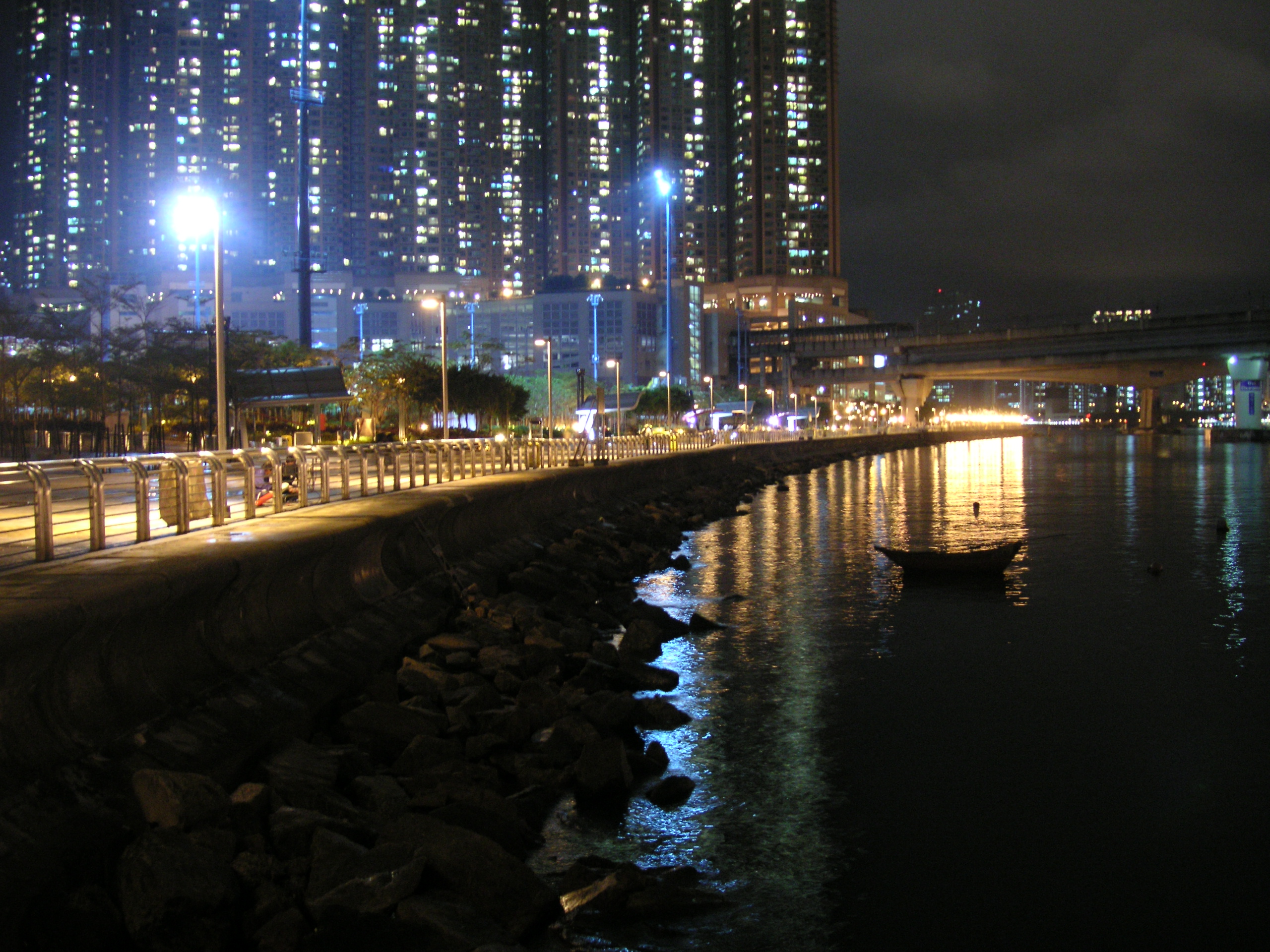
 Promenade von Tsing Yi bei Nacht
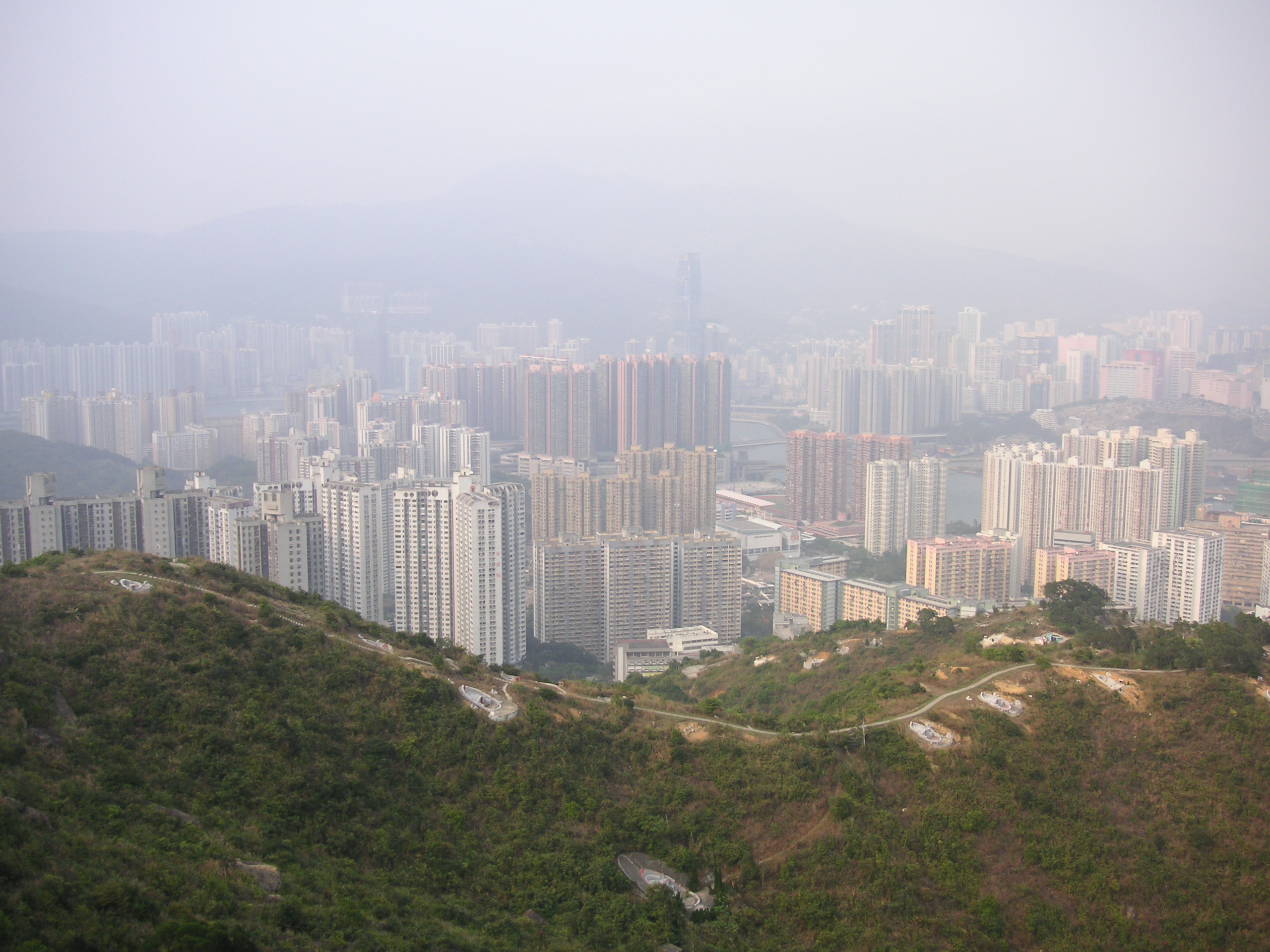
 Nördlicher Teil von New Town
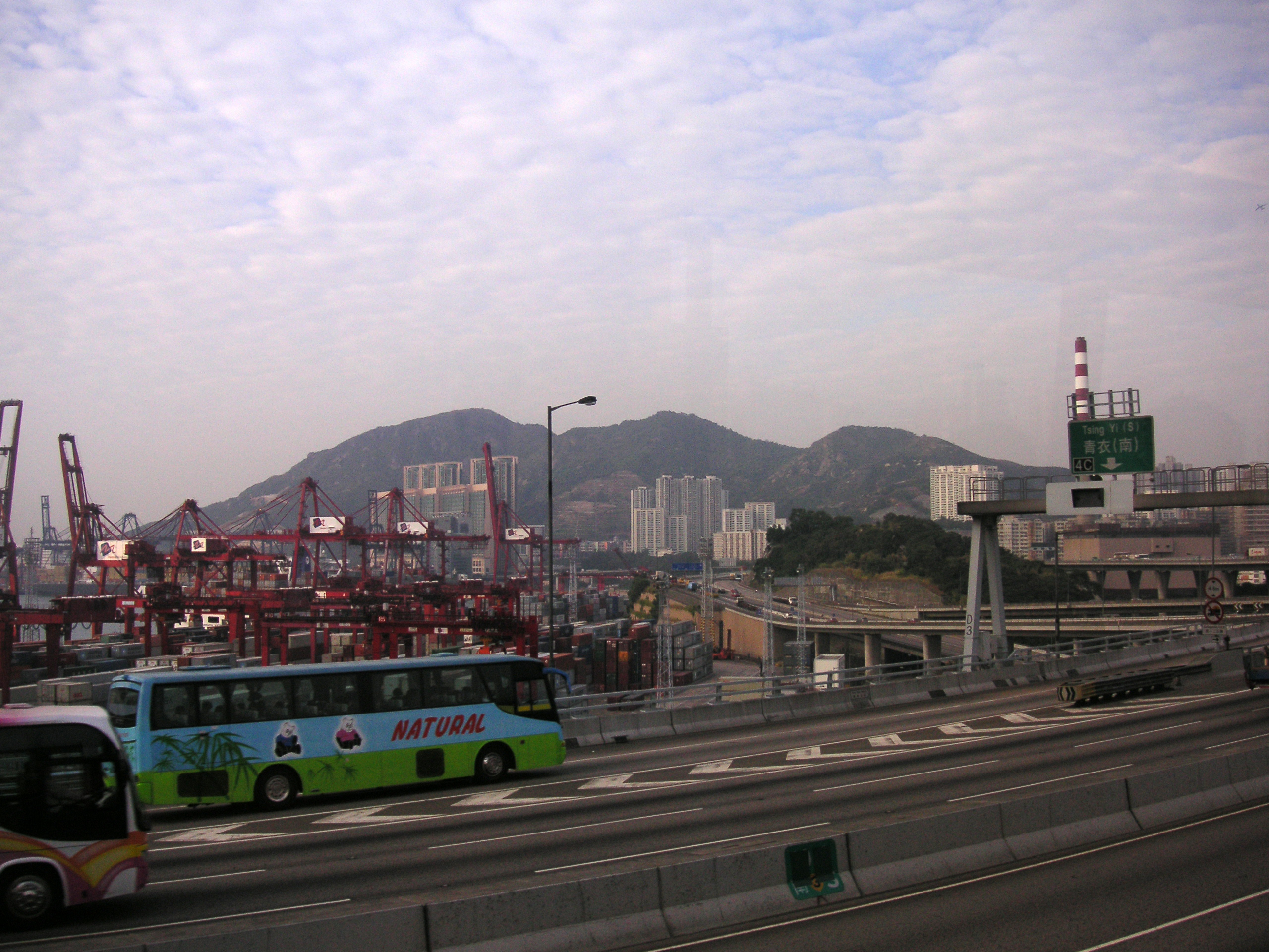
 Der Tsing Yi Peak