- Toau
-
Toau NASA-Bild von Toau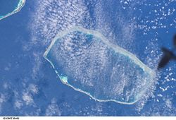
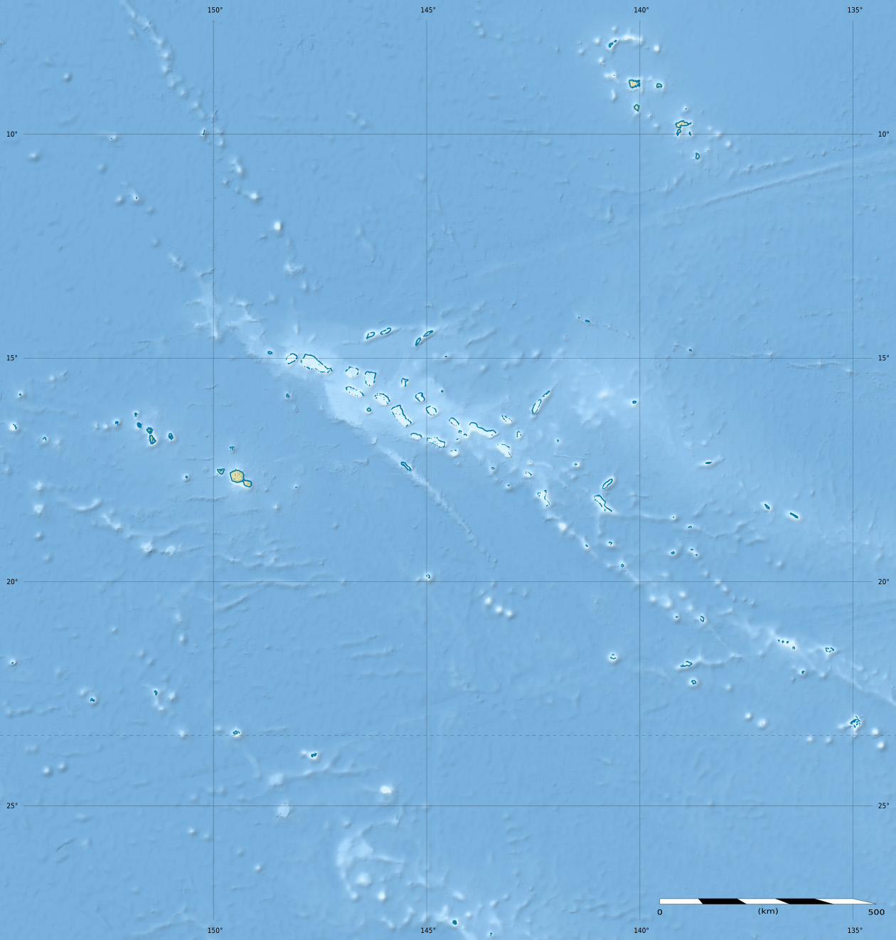
Gewässer Pazifischer Ozean Archipel Tuamotu-Archipel Geographische Lage 15° 54′ S, 146° 2′ W-15.9-146.03333333333Koordinaten: 15° 54′ S, 146° 2′ W 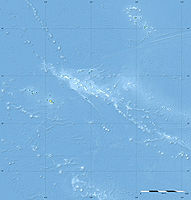

Anzahl der Inseln --- Hauptinsel Maragai Länge 35 km Breite 18 km Landfläche 12 km² Lagunenfläche 561 km² Gesamtfläche 652 km² Einwohner (unbewohnt) (2007) Toau (auch Pakuria oder Taha-a-titi genannt) ist ein Atoll des Tuamotu-Archipels in Französisch-Polynesien.
Inhaltsverzeichnis
Geographie
Die Lagune ist mit 35 × 18 km bemessen und bis zu 25 Meter tief. Die Gesamtfläche des Atolls beträgt 652 km², und die Fläche der Lagune 561 km².[1] Das nächstgelegene Atoll ist Fakarava, 14 km südöstlich von Toau entfernt. Das Atoll gehört administrativ zur Gemeinde Fakarava und darin zur gleichnamige commune associée Fakarava.
Geschichte
James Cook war der erste, der das Atoll im April 1774 gesichtet hat. In manchen Karten ist das Atoll mit dem Namen Elizabeth verzeichnet.
Das einzige Dorf ist Maragai auf der gleichnamigen Insel im Nordosten des Atolls. Zur Volkszählung 2002 wurden hier noch 24 Einwohner gezählt, laut Volkszählung 2007 jedoch ist das Atoll inzwischen unbewohnt. Die Bewohner leb(t)en hauptsächlich von Fischzucht, ebenso wird nach Perlen getaucht und Kopra aus Kokosnüssen hergestellt.
Einzelnachweise
- ↑ Loïc Charpy, Philippe Dufour, Nicole Garcia: Particulate organic matter in sixteen Tuamotu atoll lagoons (French Polynesia)
Weblinks
- Bild und Kurzbeschreibung (engl.)
- Bilder (engl.)
- Entwicklung der Inselnamen (engl.)
- Ausführlicher Reisebericht (engl.)

Ahe | Ahunui | Akiaki | Amanu | Anaa | Anuanuraro | Anuanurunga | Apataki | Aratika | Arutua | Faaite | Fakahina | Fakarava | Fangatau | Fangataufa | Gambier | Hao | Haraiki | Héréhérétué | Hikueru | Hiti | Katiu | Kauehi | Kaukura | Makatea | Makemo | Mangareva | Manihi | Manuhangi | Maria Est | Marokau | Marutea Nord | Marutea Sud | Mataiva | Matureivavao | Morane | Motutunga | Mururoa | Napuka | Nengonengo | Niau | Nihiru | Nukutavake | Nukutepipi | Paraoa | Pinaki | Puka-Puka | Puka Rua | Rangiroa | Raraka | Raroia | Ravahere | Reao | Reitoru | Rekareka | Taenga | Tahanea | Taiaro | Takapoto | Takaroa | Takume | Tatakoto | Tauere | Tekokota | Tematangi | Temoe | Tenararo | Tenarunga | Tepoto Nord | Tepoto Sud | Tikehau | Tikei | Toau | Tuanake | Tureia | Vahanga | Vahitahi | Vairaatea | Vanavana
Wikimedia Foundation.
Schlagen Sie auch in anderen Wörterbüchern nach:
Toau — Photo satellite de la NASA Géographie Pays … Wikipédia en Français
Toau — Toau, Pakuria, or Taha a titi is a coral atoll in French Polynesia, one of the Palliser Islands (Îles Pallisier). Toau has a wide lagoon; length 35 Km, width 18 Km. The nearest land is Fakarava Atoll, located 14 Km to the Southeast. Toau Atoll is … Wikipedia
Toau — es un atolón de las Tuamotu, en la Polinesia Francesa, incluido en la comuna de Fakarava. Está situado al oeste del archipiélago, delante del canal del norte de Fakarava. Sus coordenadas son … Wikipedia Español
Pakuria — Toau Toau Photo satellite de la NASA Géographie Pays … Wikipédia en Français
Taha-a-titi — Toau Toau Photo satellite de la NASA Géographie Pays … Wikipédia en Français
Îles Palliser — 15° 07′ 30″ S 147° 38′ 46″ W / 15.125, 147.646 … Wikipédia en Français
Tuamotus — Native name: Tuamotu Flag of the Tuamotu Islands … Wikipedia
Palliser Islands — The Palliser Islands are a subgroup of the Tuamotu group in French Polynesia. They are located in the northwest of the main group of atolls.The group includes: *Apataki *Aratika *Arutua *Fakarava *Kaukura *Mataiva *Rangiroa *Makatea *Tikehau… … Wikipedia
Niau — Coordinates: 16°09.25′S 146°21.34′W / 16.15417°S 146.35567°W / 16.15417; 146.35567 … Wikipedia
Fakarava — Fakarava, Havaiki te araro, Havai i or Farea is an atoll in the west of the Tuamotu group in French Polynesia. It is the second largest of the Tuamotu atolls. The nearest land is Toau Atoll, which lies 14 Km to the northwest.The shape of Fakarava … Wikipedia
Toau

18+
© Academic, 2000-2024
- Kontaktieren Sie uns: Unterstützung, Werbung
Wörterbücher Export, schritte mit PHP, Joomla, Drupal, WordPress, MODx.