- Terre Haute (Indiana)
-
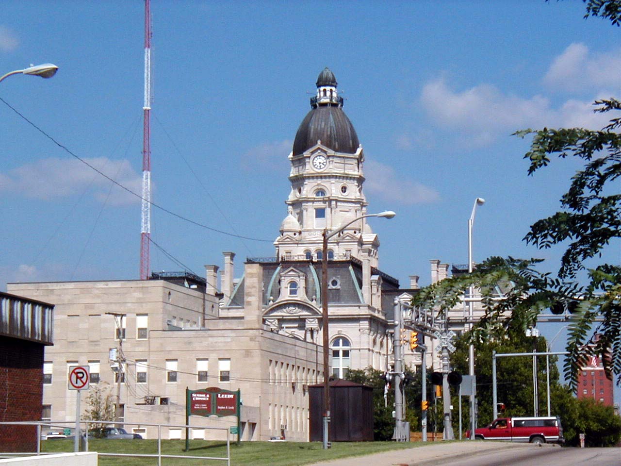
Terre Haute 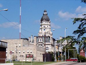
Vigo County BezirksgerichtLage in Indiana 
Basisdaten Gründung: 1816 Staat: Vereinigte Staaten Bundesstaat: Indiana County: Vigo County Koordinaten: 39° 28′ N, 87° 23′ W39.469722222222-87.389722222222Koordinaten: 39° 28′ N, 87° 23′ W Zeitzone: Eastern Standard Time (UTC−5) Einwohner: 59.614 (Stand: 2000) Bevölkerungsdichte: 736,9 Einwohner je km² Fläche: 83,1 km²
davon 80,9 km² LandHöhe: 152 m Vorwahl: +1 812 FIPS: 18-75428 GNIS-ID: 0444648 Webpräsenz: www.terrehaute.in.gov Bürgermeister: Duke A. Bennett Terre Haute ist eine Stadt im US-Bundesstaat Indiana.
Bei der Volkszählung im Jahr 2000 hatte die Stadt am Ufer des Wabash-Flusses eine Gesamtbevölkerungszahl von 60.614. Sie ist Verwaltungssitz des Vigo County. Der derzeitige Bürgermeister ist Duke A. Bennett. Die Stadt ist Sitz der Indiana State University. Terre Haute hat mehrere Postleitzahlen, die mit 478 anfangen.
Inhaltsverzeichnis
Geschichte
Der Name Terre Haute bedeutet hohes Land, er stammt von französischen Entdeckern, die das Plateau im 18. Jahrhundert besuchten. 1811 wurde während des Tecumseh-Krieges Fort Harrison errichtet, das den Beginn dauerhafter Besiedlung darstellte.
Die Stadt selbst wurde 1816 gegründet. Sie war Zentrum der Landwirtschaft und Schweinezucht und verfügte über einen Hafen am Wabash.
Einwohnerentwicklung
Jahr Einwohner¹ 1980 61.125 1990 57.475 2000 59.614 2005 56.893 ¹ 1980 - 2000 : Volkszählungsergebnisse; 2005 : Fortschreibung des US Census Bureau
Söhne und Töchter der Stadt
- Eugene V. Debs (1855–1926), Sozialist und Präsidentschaftskandidat
- Max Ehrmann (1872–1945), Schriftsteller und Jurist
- Ray Arcel (1899–1994), Boxtrainer
- Claude Thornhill (1909–1965), Bandleader, Arrangeur und Pianist
- Scatman Crothers (1910–1986), Sänger, Komponist und Schauspieler
- Philip José Farmer (1918–2009), Science-Fiction Autor
- Jess Hahn (1921–1998), Schauspieler
- Gregory Bell (* 1930), Leichtathlet, Olympiasieger (Weitsprung) und Zahnarzt
- Mick Mars (* 1951), Hard-Rock-Gitarrist
- Edward Wilkerson (* 1953), Jazz-Musiker und Musikpädagoge
Weblinks
- Homepage der Stadtverwaltung
- Terre Haute Zeitung
- Geschichte von Terre Haute: Ein Auszug aus Indiana: A New Historical Guide
- Indiana State University Homepage
- St. Mary of the Woods College: Eine römisch-katholische College für Frauen.
- Rose-Hulman Institute of Technology
- Hometown: A Journey Through Terre Haute, IN: Ein Dokumentarfilm fürs Fernsehen über Terre Haute in den 1920er Jahren.

Wikimedia Foundation.