- Stepney Green (London Underground)
-
 Stationsgebäude
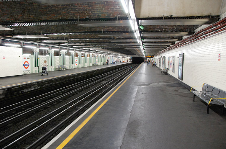
 Bahnsteige
Stepney Green ist eine unterirdische Station der London Underground im Stadtbezirk London Borough of Tower Hamlets. Sie liegt in der Travelcard-Tarifzone 2, an der Kreuzung von Mile End Road und Globe Road. Hier verkehren die District Line und die Hammersmith & City Line. Im Jahr 2007 nutzten 4,033 Millionen Fahrgäste die Station.[1] In der Nähe befindet sich der Campus des Queen Mary and Westfield College.
Eröffnet wurde die Station am 2. Juni 1902 durch die Whitechapel & Bow Railway, einem Joint-Venture der Metropolitan District Railway (heutige District Line) und der London, Tilbury and Southend Railway. Elektrische U-Bahnen verkehrten ab 1905. Im Jahr 1923 ging die Station in den Besitz der London, Midland and Scottish Railway über, nach der Verstaatlichung der Eisenbahnen an London Underground. Die Metropolitan Line bediente Stepney Green erstmals am 30. März 1936 (deren Zweigstrecke nach Barking wurde 1988 an die Hammersmith & City Line übertragen).
Einzelnachweise
Weblinks
 Commons: Stepney Green (London Underground) – Sammlung von Bildern, Videos und Audiodateien
Vorherige Station Transport for London Nächste Station Whitechapel 
Mile End Whitechapel 
Mile End 51.521944444444-0.046388888888885Koordinaten: 51° 31′ 19″ N, 0° 2′ 47″ WKategorien:- Station der London Underground
- Verkehr (London Borough of Tower Hamlets)

Wikimedia Foundation.