- Sousel
-
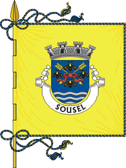
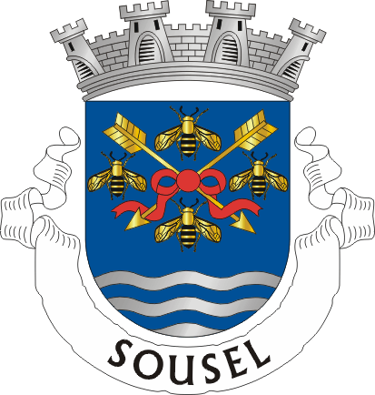
Sousel Wappen Karte 
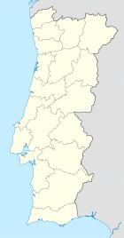

Basisdaten Region: Alentejo Unterregion: Alentejo Central Distrikt: Portalegre Concelho: Sousel Koordinaten: 38° 57′ N, 7° 41′ W38.9525-7.6763888888889Koordinaten: 38° 57′ N, 7° 41′ W Einwohner: 2.100 (Stand: 2001) Politik Adresse der Gemeindeverwaltung: Junta de Freguesia de Sousel
Largo do Jardim
7470-231 SouselKreis Sousel Flagge Karte 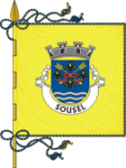
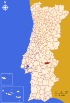
Einwohner: 5780 (Stand: 2001) Fläche: 278,94 km² Bevölkerungsdichte: 20,72 Einwohner pro km² Anzahl der Gemeinden: 4 Verwaltung Adresse der Verwaltung: Câmara Municipal de Sousel
Praça da República, 1
7470-220 SouselKreisrat: Armando Varela (PSD) Webpräsenz: www.cm-sousel.pt Sousel ist eine Kleinstadt (Vila) in Portugal.
Geschichte
Die Stadt ist sehr alt, es ist jedoch nicht bekannt, wann sie das Stadtrecht bekam.
Verwaltung

Sousel ist Verwaltungssitz eines gleichnamigen Kreises. Die Nachbarkreise sind (im Uhrzeigersinn im Norden beginnend): Avis, Fronteira, Estremoz, Arraiolos sowie Mora.
Die folgenden Gemeinden (freguesias) liegen im Kreis Sousel:
- Cano
- Casa Branca
- Santo Amaro
- Sousel
Einwohnerzahl des Kreises Sousel (1801 – 2004) 1801 1849 1900 1930 1960 1981 1991 2001 2004 1492 4627 5906 8531 10578 7259 6150 5780 5579 Weblinks
-
 Commons: Sousel – Sammlung von Bildern, Videos und Audiodateien
 - Karte der Freguesia Sousel beim Instituto Geográfico do Exército

Alter do Chão | Arronches | Avis | Campo Maior | Castelo de Vide | Crato | Elvas | Fronteira | Gavião | Marvão | Monforte | Nisa | Ponte de Sor | Portalegre | Sousel
Wikimedia Foundation.
Schlagen Sie auch in anderen Wörterbüchern nach:
Sousel — Bandera … Wikipedia Español
Sousel — Sp Sozèlis Ap Sousel L Portugalija … Pasaulio vietovardžiai. Internetinė duomenų bazė
Sousel — Admin ASC 2 Code Orig. name Sousel Country and Admin Code PT.16.1215 PT … World countries Adminstrative division ASC I-II
Sousel (freguesia) — Sousel Freguesia de Portugal … Wikipedia Español
Sousel, Portugal — Infobox Municipality pt official name = Sousel image coat of arms = SSL.png Region = Alentejo Subregion = Alentejo Central District = Portalegre Mayor name = Armando Varela Mayor party = PSD area total = 279.4 population total = 5,579 population… … Wikipedia
Santo Amaro (Sousel) — Wappen Karte … Deutsch Wikipedia
Cano (Sousel) — Saltar a navegación, búsqueda Cano Freguesia de Portugal … Wikipedia Español
Casa Branca (Sousel) — Saltar a navegación, búsqueda Casa Branca Freguesia de Portugal … Wikipedia Español
Santo Amaro (Sousel) — Saltar a navegación, búsqueda Santo Amaro Freguesia de Portugal … Wikipedia Español
Cano (Sousel) — Cano Wappen Karte … Deutsch Wikipedia
Sousel


18+
© Academic, 2000-2024
- Kontaktieren Sie uns: Unterstützung, Werbung
Wörterbücher Export, schritte mit PHP, Joomla, Drupal, WordPress, MODx.