- Slanec
-
Slanec
Wappen Karte 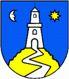
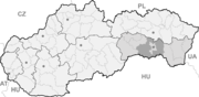

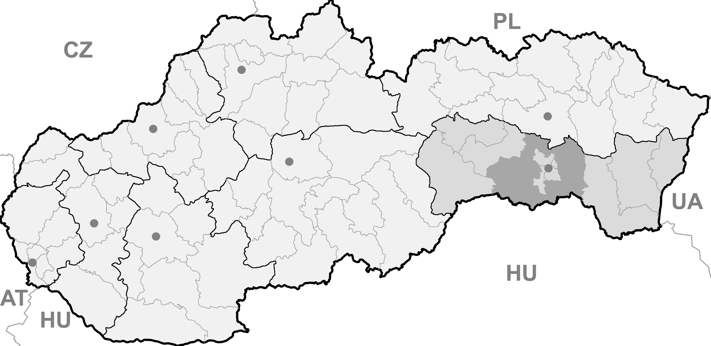
Slanec BasisdatenKraj: Košický kraj Okres: Košice-okolie Region: Košice Fläche: 20,459 km² Einwohner: 1.365 (31. Dez. 2010) Bevölkerungsdichte: 66,72 Einwohner je km² Höhe: 355 m n.m. Postleitzahl: 044 17 Telefonvorwahl: 055 Geographische Lage: 48° 38′ N, 21° 29′ O48.63611111111121.478611111111355Koordinaten: 48° 38′ 10″ N, 21° 28′ 43″ O Kfz-Kennzeichen: KS Gemeindekennziffer: 522007 StrukturGemeindeart: Gemeinde Verwaltung (Stand: November 2010)Bürgermeister: Jozef Bela Adresse: Obecný úrad Slanec
Hlavná 55/114
04417 SlanecWebpräsenz: www.slanec.sk Gemeindeinformation
auf portal.gov.skStatistikinformation
auf statistics.skSlanec (slowakisch bis 1927 „Sálanc“; ungarisch Nagyszalánc) ist eine Gemeinde in der Ostslowakei.
Inhaltsverzeichnis
Lage
Sie liegt in den Slanské vrchy, denen es seinen Namen gibt, auf einem Pass etwa 24 km von Košice entfernt.
Geschichte
Die Gemeinde wurde 1301 erstmals erwähnt und entwickelte sich aus einer Siedlung unterhalb der Burg Slanec (erste Erwähnung 1281).
Sehenswürdigkeiten
- die Ruinen der Burg Slanec
- römisch-katholische Kirche aus dem Jahr 1754
- ein Kastell unterhalb der Burg aus der 2. Hälfte des 18. Jahrhunderts
Weblinks
 Commons: Slanec – Sammlung von Bildern, Videos und AudiodateienGemeinden im Okres Košice-okolie
Bačkovík | Baška | Belža | Beniakovce (Benakowetz) | Bidovce (Bidowetz) | Blažice | Bočiar | Bohdanovce (Bogdanowetz) | Boliarov | Budimír | Bukovec | Bunetice | Buzica | Cestice | Čakanovce (Tschakanowetz) | Čaňa | Čečejovce | Chorváty | Chrastné | Čižatice | Debraď | Drienovec | Družstevná pri Hornáde | Ďurďošík | Ďurkov | Dvorníky-Včeláre | Geča | Gyňov | Hačava (Wagnerhau) | Háj | Haniska | Herľany (Herlein) | Hodkovce (Hatkotz) | Hosťovce (Wendig) | Hrašovík (Raas) | Hýľov | Janík | Jasov (Jossau) | Kalša | Kecerovce | Kecerovský Lipovec | Kechnec | Kokšov-Bakša | Komárovce | Kostoľany nad Hornádom | Košická Belá (Bella) | Košická Polianka | Košické Oľšany | Košický Klečenov (Kleschenwetz) | Kráľovce (Kralowetz) | Kysak | Malá Ida | Malá Lodina | Medzev (Metzenseifen) | Milhosť | Mokrance | Moldava nad Bodvou (Moldau an der Bodwa) | Mudrovce | Nižná Hutka | Nižná Kamenica (Unterkamenitz) | Nižná Myšľa | Nižný Čaj | Nižný Klátov | Nižný Lánec | Nová Polhora | Nováčany | Nový Salaš | Obišovce | Olšovany | Opátka | Opiná | Paňovce | Peder | Perín-Chym | Ploské | Poproč | Rákoš | Rankovce (Rankowetz) | Rešica (Reste) | Rozhanovce (Roscho[no]wetz) | Rudník | Ruskov | Sady nad Torysou | Seňa (Schena) | Skároš | Slančík | Slanec | Slanská Huta | Slanské Nové Mesto | Sokoľ | Sokoľany | Svinica (Swinitz) | Šemša | Štós (Stoß) | Trebejov | Trsťany | Trstené pri Hornáde | Turňa nad Bodvou (Tornau) | Turnianska Nová Ves | Vajkovce | Valaliky | Veľká Ida | Veľká Lodina | Vtáčkovce | Vyšná Hutka | Vyšná Kamenica (Oberkamenitz) | Vyšná Myšľa | Vyšný Čaj | Vyšný Klátov | Vyšný Medzev (Obermetzenseifen) | Zádiel | Zlatá Idka (Goldidka) | Žarnov | Ždaňa
Wikimedia Foundation.
Schlagen Sie auch in anderen Wörterbüchern nach:
Slanec — (Village) Ruine du château Administration Pays … Wikipédia en Français
Slanec — ( de. Salzburg; hu. Nagyszalánc; la. Castrum Salis) is a village and municipality in Košice okolie District in the Košice Region of eastern Slovakia.HistoryIn historical records the village was first mentioned in 1230 ( Castrum Salis ) as an… … Wikipedia
Burg Slanec — p3 Burg Slanec Blick auf die Burgruine Entstehungszeit: um 1281 … Deutsch Wikipedia
Monts de Slanec — 48°45′N 21°30′E / 48.75, 21.5 … Wikipédia en Français
North Hungarian Mountains — This page is about the Hungarian geographical region, called North Hungarian Mountains . For the similar region in Slovakia, see Mátra Slanec Area. North Hungarian Mountains The view of the valley of Lillafüred in Bükk mountains. Although this is … Wikipedia
Divisions of the Carpathians — Map of the main divisions of the Carpathians. 1. Outer Western Carpathians 2. Inner Western Carpathians 3. Outer Eastern Carpathians 4. Inner Eastern Carpathians 5. Southern Carpathians 6. Western Romanian Carpathians 7. Transylvanian Plateau 8.… … Wikipedia
Northern Medium Mountains (Hungary) — This page is about the Hungarian geographical region, called Northern Medium Mountains . For the similar region in Slovakia, see Mátra Slanec Area. Hu georegion name=Northern Medium Mountains imagecaption=The view of the valley of Lillafüred in… … Wikipedia
Liste der Burgen und Schlösser in der Slowakei — Diese Liste führt Burgen und Schlösser in der Slowakei auf. Übersetzungen: hrad, (hrádok) = Burg zámok = Schloss; pevnosť = Festung kaštieľ = Kastell Altes Schloss (slowakisch Starý zámok Banská Štiavnica) Schloss Altsohl (slowakisch Zvolenský… … Deutsch Wikipedia
Secciones de los Cárpatos — Mapa de las principales secciones de los Cárpatos. 1. Cárpatos occidentales exteriores 2. Cárpatos occidentales interiores 3. Cárpatos orientales exteriores 4. Cárpatos orientales interiores 5. Cárpatos meridionales 6. Cárpatos rumanos… … Wikipedia Español
Bahnstrecke Košice–Čierna nad Tisou — Košice–Čierna nad Tisou Bahnhof in Slovenské Nové Mesto Kursbuchstrecke (ZSSK): 190 Streckenlänge: 98,8 km Spurweite: 14 … Deutsch Wikipedia
Slanec

18+
© Academic, 2000-2024
- Kontaktieren Sie uns: Unterstützung, Werbung
Wörterbücher Export, schritte mit PHP, Joomla, Drupal, WordPress, MODx.