- Rangitoto
-
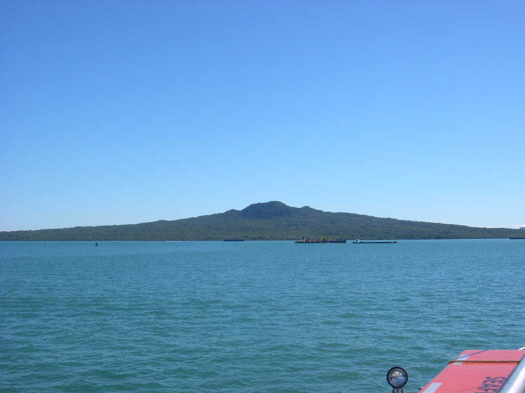
Rangitoto Rangitoto Island von der Fähre
Gewässer Pazifischer Ozean Geographische Lage 36° 47′ 14″ S, 174° 51′ 49″ O-36.787222222222174.86361111111260Koordinaten: 36° 47′ 14″ S, 174° 51′ 49″ O 

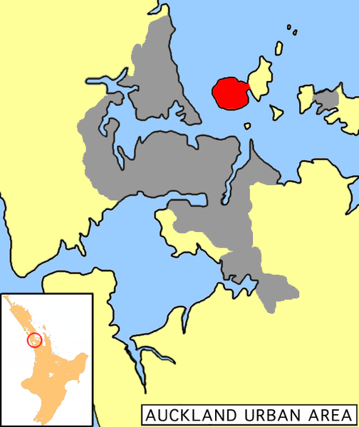
Fläche 23,1 km² Höchste Erhebung 260 m Einwohner (unbewohnt) Lage von Rangitoto Island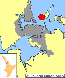
Rangitoto ist eine 23,1 km² große inaktive vulkanische Insel, die vor Auckland in Neuseeland im Hauraki-Golf liegt. Sie ist leicht mit der Fähre ab Auckland zu erreichen. Die vor etwa 600 bis 700 Jahren entstandene Insel ist annähernd symmetrisch aufgebaut und Bestandteil des Vulkangebietes Aucklandfeld. Der Name „Rangitoto“ stammt von den Māori. Denn der Kapitän (Tama-te-kapua) des Kanus Arawa ist auf der Insel schwer verletzt worden, was in Te Reo Maori soviel bedeutet wie „Te Rangi i totongia a Tamatekapua“ („Die Tage des Blutens von Tama-te-kapua“).
Die Insel ist mit der Nachbarinsel Motutapu Island durch einen im 2. Weltkrieg aufgeschütteten Damm verbunden. Beide Inseln zusammen weisen eine Fläche von 38,19 km² auf.
Inhaltsverzeichnis
Informationen für Besucher
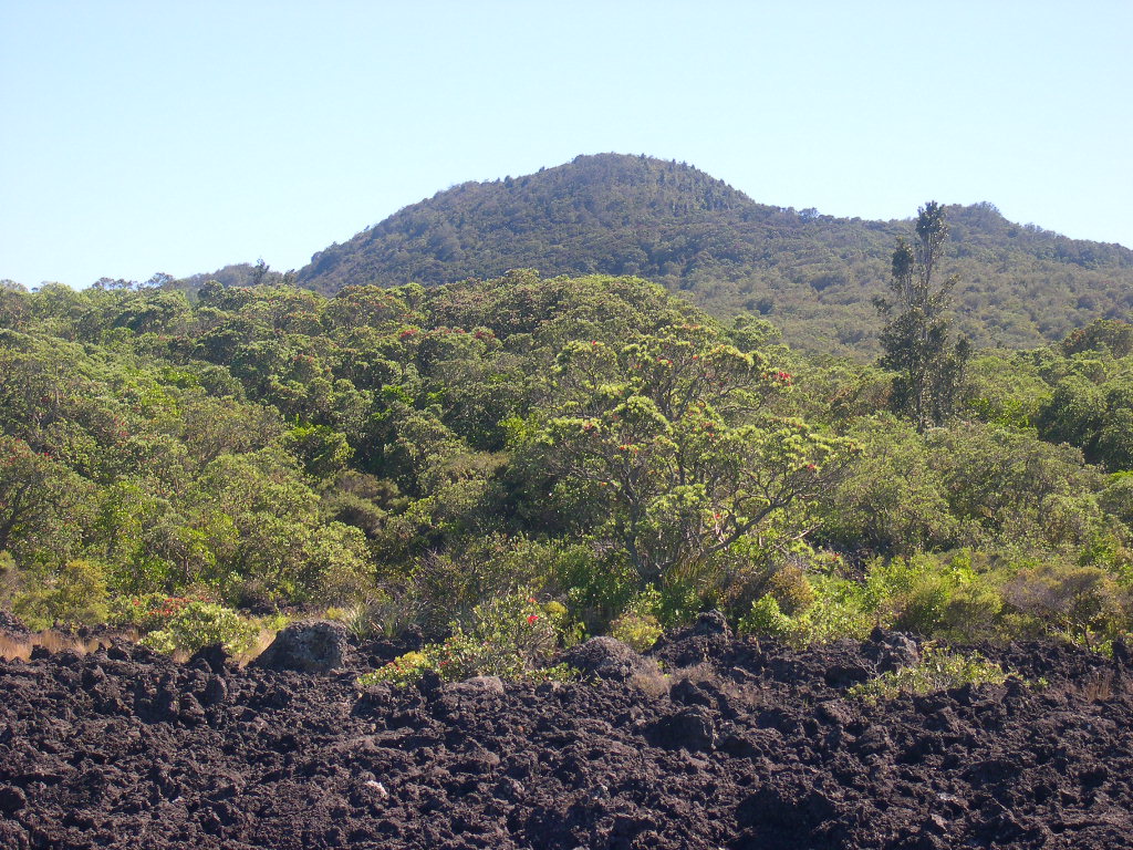
Auf der Insel befindet sich der größte Pōhutukawa-Forst Neuseelands. Der Forst wurde in den 20er-Jahren des vergangenen Jahrhunderts von Sträflingen gepflanzt. Ein Besuch lohnt sich besonders in der Weihnachtszeit, da die Pohutukawas dann blühen. Der höchste Punkt der Insel liegt auf 260 m und ist zu Fuß zu erreichen. Für jene, die nicht gerne in der sommerlichen Hitze wandern, gibt es auch ein „Züglein“, das regelmäßig bis fast zum Gipfel fährt. Die Aussicht aus 260 m Höhe ist an einem klaren Tag einmalig. Auckland und einige Nachbarinseln sind zu sehen.
Wenn man nicht direkt zum Gipfel und wieder zurück läuft, kann man auch kleine Strände mit Bademöglichkeit entdecken.
Sonstiges
Auf der Insel gab es früher einmal viele Kusus (Possum), die mittlerweile aber alle (über 10.000 Tiere) von Umweltschützern eingefangen worden sind, da sie die Flora zerstörten.
-

Gipfel in Sicht, im Vordergrund ist ein Pohutakawa-Baum an den roten Blüten zu erkennen
Weblinks
 Commons: Rangitoto – Album mit Bildern und/oder Videos und Audiodateien
Quellen
- Auckland Field im Global Volcanism Program der Smithsonian Institution (englisch)
- Regional Council von Auckland über die Vulkaninsel Rangitoto
- Webseite des staatlichen GNS Science Forschungsinstitut über Rangitoto
Kategorien:- Unbewohnte Insel
- Insel (Australien und Ozeanien)
- Insel (Neuseeland)
- Insel (Pazifischer Ozean)
- Auckland
- Schildvulkan
-
Wikimedia Foundation.