- Portsmouth (New Hampshire)
-
Portsmouth 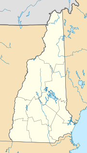

Portsmouth Lage in New HampshireBasisdaten Gründung: 1630 Staat: Vereinigte Staaten Bundesstaat: New Hampshire County: Koordinaten: 43° 5′ N, 70° 46′ W43.075555555556-70.7613888888896Koordinaten: 43° 5′ N, 70° 46′ W Zeitzone: Eastern Standard Time (UTC−5) Einwohner: 20.784 (Stand: 2000) Bevölkerungsdichte: 514,5 Einwohner je km² Fläche: 43,5 km² (ca. 17 mi²)
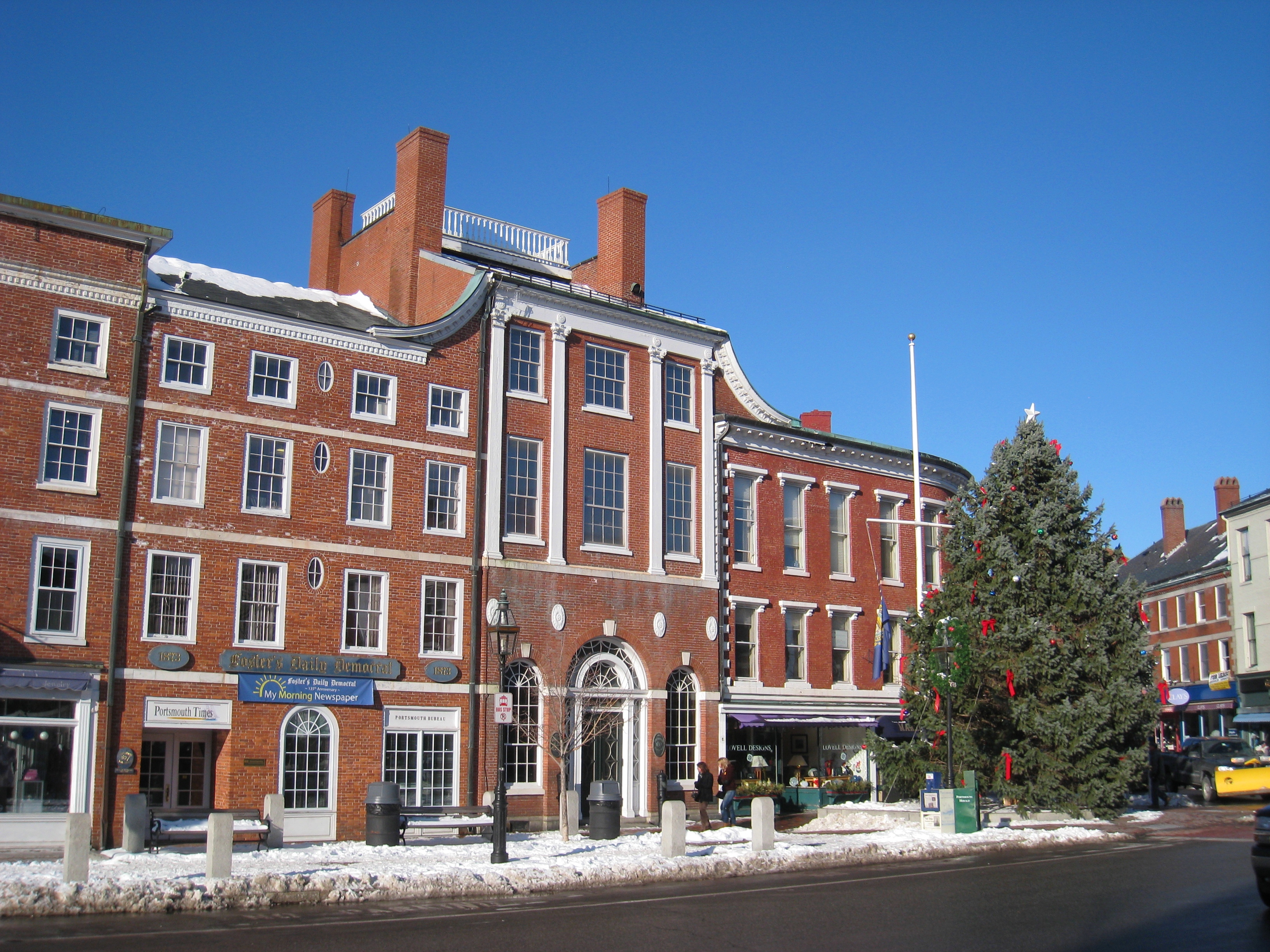
davon 40,4 km² (ca. 16 mi²) LandHöhe: 6 m Postleitzahlen: 03801-03804 Vorwahl: +1 603 FIPS: 33-62900 GNIS-ID: 0869312 Webpräsenz: www.cityofportsmouth.com Bürgermeister: Tom Ferrini  Portsmouth: Market Square(Marktplatz)
Portsmouth ist eine Hafenstadt im Osten des US-Bundesstaates New Hampshire und liegt an einer Bucht, die die Grenze zu Maine bildet. Es ist die größte Stadt des Rockingham County. Die Stadt liegt an der Interstate 95 von Boston nach Portland (Maine).
Inhaltsverzeichnis
Geschichte
Portsmouth wurde 1630 unter dem Namen Piscataqua gegründet und kurz darauf in Strawberry Banke umbenannt. 1653 erhielt die Siedlung unter ihrem neuen Namen Portsmouth das Stadtrecht. Es war von 1679 bis 1774 die Hauptstadt der Kolonie New Hampshire. Die Marinebasis der Stadt war 1905 Schauplatz des von Theodore Roosevelt ausgehandelten Vertrags von Portsmouth zwischen Russland und Japan. Von 1899 bis 1925 hatte die Stadt einen Straßenbahnbetrieb.
Einwohnerentwicklung
Jahr Einwohner[1] 1980 26.254 1990 25.925 2000 20.784 2005 20.674 Partnerstädte
Stadtfreundschaften
Söhne und Töchter der Stadt
- Brooke Astor (1902–2007), Philanthropin
- Helen Dore Boylston (1895–1984), Autorin
- Alfred Thompson Bricher (1837–1908), Landschaftsmaler der Hudson River School
- Samuel Elliott Coues (1842–1899), Historiker, Ornithologe, Autor und Theosoph
- Charles Cutts (1769–1846), US-Senator
- Ronnie James Dio (1942–2010), Rocksänger
- Charlie Kohlhase (* 1956), Jazzmusiker
- John Langdon (1741–1819), Gouverneur
- Fitz-John Porter (1822–1901), Armeegeneral
- Tom Rush (* 1941), Folk- und Bluessänger
- James Sheafe (1755–1829), US-Senator
- Ilene Woods (1929-2010), Sängerin und Synchronsprecherin
Quellen
- ↑ 1980 - 2000: Volkszählungsergebnisse; 2005 : Fortschreibung des US Census Bureau
Kategorie:- Ort in New Hampshire

Wikimedia Foundation.