- Peoria (Illinois)
-
Peoria 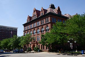
RathausLage in Illinois 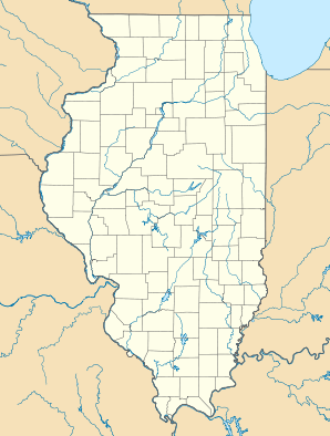

Peoria Basisdaten Gründung: 1680 Staat: Vereinigte Staaten Bundesstaat: Illinois County: Koordinaten: 40° 43′ N, 89° 37′ W40.720555555556-89.609166666667152Koordinaten: 40° 43′ N, 89° 37′ W Zeitzone: Central Standard Time (UTC−6) Einwohner: 112.720 (Stand: 2004) Bevölkerungsdichte: 980,2 Einwohner je km² Fläche: 120,7 km² (ca. 47 mi²)
davon 115,0 km² (ca. 44 mi²) LandHöhe: 152 m Postleitzahlen: 61602-61606, 61614, 61615[1] Vorwahl: +1 309 FIPS: 17-59000 GNIS-ID: 415536 Webpräsenz: www.ci.peoria.il.us Bürgermeister: Jim Ardis Peoria ist eine Stadt und Verwaltungssitz des Peoria County im US-amerikanischen Bundesstaat Illinois. Im Jahre 2004 hatte Peoria 112.720 Einwohner.
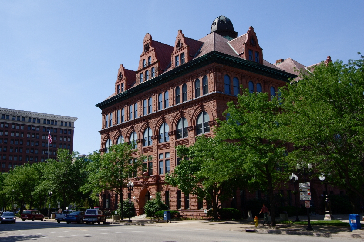
Peoria ist Sitz des 1875 errichteten römisch-katholischen Bistums Peoria. Die Kathedrale Saint Mary of the Immaculate Conception wurde 1889 fertiggestellt.
Peoria, Illinois Klimadiagramm (Erklärung) J F M A M J J A S O N D 38-1-10362-8749-196175942311101281610730197928179825136718668100621-7Temperatur in °C, Niederschlag in mm Quelle: National Weather Service, US Dept of Commerce Inhaltsverzeichnis
Geographie
Peoria ist die größte Stadt am Illinois River. Die Stadt liegt auf 40°43'15" nördlicher Breite und 89°36'34" westlicher Länge. Die Stadtfläche beträgt 120,8 km².
Sprichwörtliche Bedeutung
Peoria wurde als Musterstadt für den Mittleren Westen der USA bekannt, weil ihre Bevölkerung in etwa der durchschnittlichen Bevölkerung dieser Staaten entspricht. So werden viele neue Produkte zuerst in Peoria getestet. In diesem Zusammenhang hat der Name der Stadt eine in den USA bekannte Redewendung geprägt: „Will it play in Peoria?“ (sinngemäß: „Wird es in Peoria ankommen?“) bedeutet: wird es dem Geschmack des Durchschnittsamerikaners in einer typischen Stadt des Mittleren Westens – und damit der amerikanischen Mehrheitsbevölkerung – entsprechen? Diese Frage kann sich auf ein Produkt beziehen, aber z.B. auch auf ein kulturelles Phänomen oder einen politischen Kandidaten.
Eine ähnliche Bedeutung hat Haßloch für Deutschland.
Bildung, Wirtschaft und Sport
Peoria beheimatet die Bradley University und die Notre Dame High School. Hier befindet sich auch der Hauptsitz des Unternehmens Caterpillar, des größten Baumaschinenherstellers der Welt. Außerdem gibt es hier die Eishockeymannschaft Peoria Rivermen, ein Farmteam der St. Louis Blues.
Städtepartnerschaften
Peoria ist durch Städtepartnerschaften verschwistert mit Clonmel in Irland, Friedrichshafen in Baden-Württemberg und Benxi in China.[2]
Söhne und Töchter der Stadt
- Dan Fogelberg (1951–2007), Sänger und Komponist
- Betty Friedan (1921–2006), Feministin und Publizistin
- Barry Hughart (* 1934), Fantasy-Autor
- Ernst Ising (1900–1998), deutscher Physiker, ab 1948 Professor an der Bradley University
- Joseph F. Keithley (1915–1999), Unternehmer
- Ray LaHood (* 1945), Politiker
- John Little (* 1984), Basketballspieler
- Shaun Livingston (* 1985), Basketballspieler
- Mudvayne, Rockband
- Richard Pryor (* 1940), Schauspieler
- John M. Shalikashvili (* 1936), 1952 eingewanderter US-General
- Dan Simmons (* 1948), Schriftsteller
- David Ogden Stiers (* 1942), Schauspieler und Musiker
- Marshall Thompson (1925–1992), Schauspieler
Einzelnachweise
Weblinks
 Commons: Peoria – Sammlung von Bildern, Videos und AudiodateienStädte und Gemeinden im Peoria County
Bartonville | Bellevue | Brimfield | Chillicothe | Dunlap | Elmwood | Glasford | Hanna City | Kingston Mines | Mapleton | Norwood | Peoria | Peoria Heights | Princeville | Rome | West Peoria
Wikimedia Foundation.
Schlagen Sie auch in anderen Wörterbüchern nach:
Peoria, Illinois — Coordinates: 40°43′15″N 89°36′34″W / 40.72083°N 89.60944°W / 40.72083; 89.60944 … Wikipedia
Peoria (Illinois) — Pour les articles homonymes, voir Peoria. Peoria … Wikipédia en Français
Peoria High School (Peoria, Illinois) — Peoria High School is a public high school in Peoria, Illinois. Peoria High School was established in 1856 and is the oldest continually operating high school west of the Allegheny MountainsDubious|date=March 2008. Peoria High is located at 1615… … Wikipedia
Bridges in Peoria, Illinois — Peoria, Illinois and East Peoria, Illinois are separated by the Illinois River, a convert|240|mi|km|0|sing=on long body of water that reaches up to a mile across in places along Peoria Lake. The Illinois River is one of six rivers that are… … Wikipedia
Media in Peoria, Illinois — A listing of the broadcasters and published media targeted at Peoria, Illinois. TV information includes cities where Peoria TV has been dominant, including Bloomington/Normal full power TV, and LaSalle/Peru TV before cable TV. Contents 1… … Wikipedia
West Peoria (Illinois) — West Peoria Ciudad de los Estados Unidos … Wikipedia Español
Municipio de Peoria City (condado de Peoria, Illinois) — Municipio de Peoria City Municipio de los Estados Unidos … Wikipedia Español
Municipio de West Peoria (condado de Peoria, Illinois) — Municipio de West Peoria Municipio de los Estados Unidos … Wikipedia Español
Manual High School (Peoria, Illinois) — Manual High School Address 811 S. Griswold St. Peoria, Illinois, 61605 United States Coordinates … Wikipedia
East Peoria, Illinois — Geobox|Settlement name = East Peoria native name = other name = category = City etymology = official name = motto = nickname = image caption = symbol = country = United States state = Illinois region = Tazewell region type = County district =… … Wikipedia
Peoria (Illinois)

18+
© Academic, 2000-2024
- Kontaktieren Sie uns: Unterstützung, Werbung
Wörterbücher Export, schritte mit PHP, Joomla, Drupal, WordPress, MODx.