- Pasari Island
-
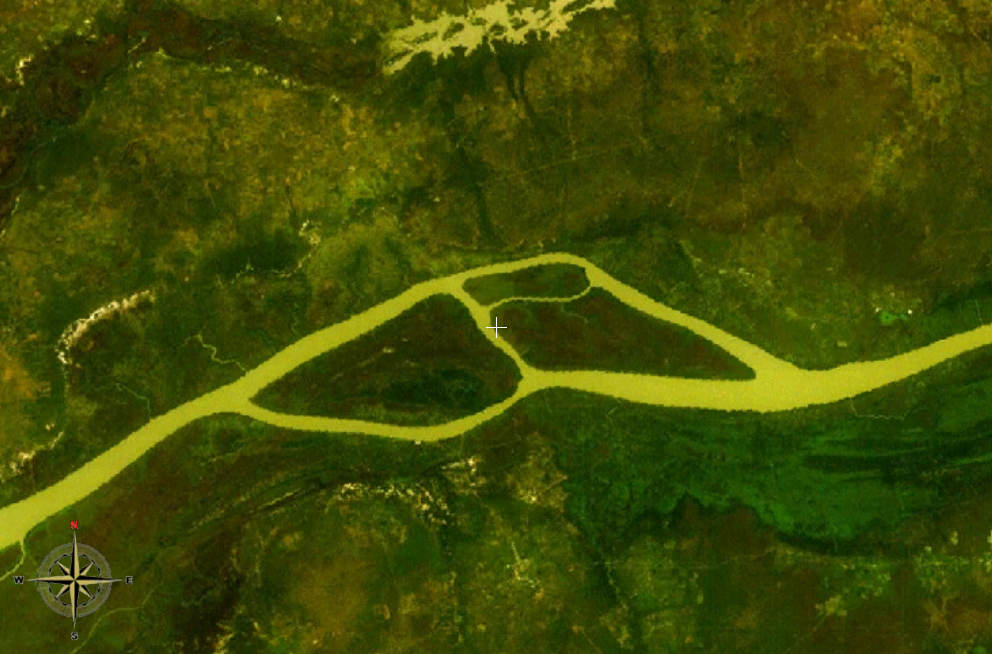
Pasari Island NASA-World-Wind-Satellitenbild: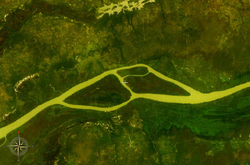
Der Gambia fließt hier im Bildausschnitt in westlicher Richtung. Deer Island ist die östliche, Pasari Island ist die westliche der beiden großen Inseln.Gewässer Gambia (Fluss) Geographische Lage 13° 42′ 10″ N, 15° 4′ 53″ W13.702777777778-15.081388888889Koordinaten: 13° 42′ 10″ N, 15° 4′ 53″ W 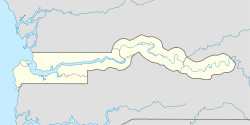

Länge 6 km Breite 2,8 km Einwohner (unbewohnt) Pasari Island ist eine Binneninsel des Gambia-Flusses im westafrikanischen Staat Gambia.
Geographie
Die ungefähr sechs Kilometer lange und 2,8 Kilometer breite unbewohnte Insel liegt rund 220 Fluss-Kilometer flussaufwärts von Banjul. Der Gambia verengt sich hier auf eine Breite von etwa 310 Meter und 250 Meter.
Auf dem rechten Flussufer, in der Nähe der Nachbarinsel Deer Island, liegt der 1485 Hektar große Kahi Badi Forest Park.
Siehe auch
Kategorien:- Unbewohnte Insel
- Flussinsel
- Insel (Gambia)
- Insel (Afrika)
- Geographie (Central River Region)

Wikimedia Foundation.