- Ovalau
-
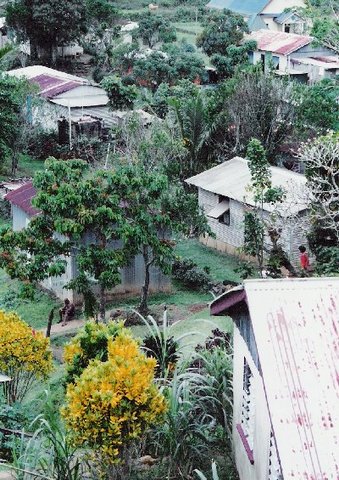
Ovalau Dorf auf Ovalau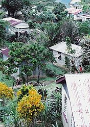
Gewässer Pazifischer Ozean Inselgruppe Lomaiviti-Inseln (Fidschi-Inseln) Geographische Lage 17° 41′ S, 178° 47′ O-17.688055555556178.79055555556625Koordinaten: 17° 41′ S, 178° 47′ O 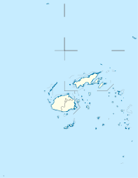

Länge 14,9 km Breite 10,0 km Fläche 102,3 km² Höchste Erhebung Nadelaiovalau
625 mEinwohner 9.000
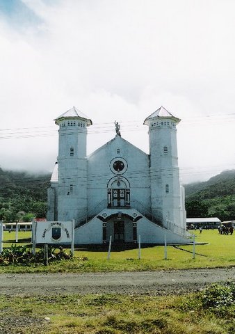
88 Einw./km²Hauptort Levuka St. John Kirche, Ovalau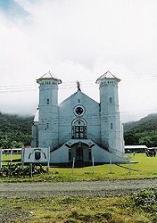
Ovalau ist die sechstgrößte Insel Fidschis und Verwaltungssitz der Lomaiviti-Inselgruppe.
Bis zum Jahre 1882 war die Stadt Levuka die Hauptstadt der britischen Kronkolonie Fidschi (englisch: Fiji).
Geographie
Die Landfläche beträgt 102,3 km²,[1] die Insel hat eine Bevölkerung von ca. 9000 Menschen, die in 23 Dörfern und der ehemaligen Hauptstadt Levuka leben. Ovalau ist vulkanischen Ursprungs und hat eine zerklüftete, bergige Topografie. Im Zentrum der Insel, in der Caldera, liegt das Dorf Lovoni, der höchste Gipfel ist der Nadelaiovalau mit 625 Metern Höhe über dem Meer.
Weblinks
 Commons: Ovalau – Sammlung von Bildern, Videos und Audiodateien
Einzelnachweise
- ↑ UNEP Islands Directory (englisch)
Kategorien:- Insel (Fidschi)
- Insel (Australien und Ozeanien)
- Insel (Pazifischer Ozean)

Wikimedia Foundation.